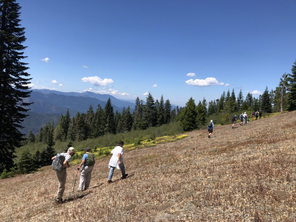
Are you looking for a deeper sense of place here in the Applegate? Have you ever wondered about some of the more obscure portions of the region? Would you like to experience the spectacular biodiversity of the Applegate firsthand? ANN’s spring and summer hike series might be just what you’re looking for! In 2019 ANN led seven separate hikes spread across the Applegate Siskiyous, its wildlands and its diverse habitats. Enjoy this recap of our 2019 hike series, and join us next year for more Applegate adventures.
Spring Hikes
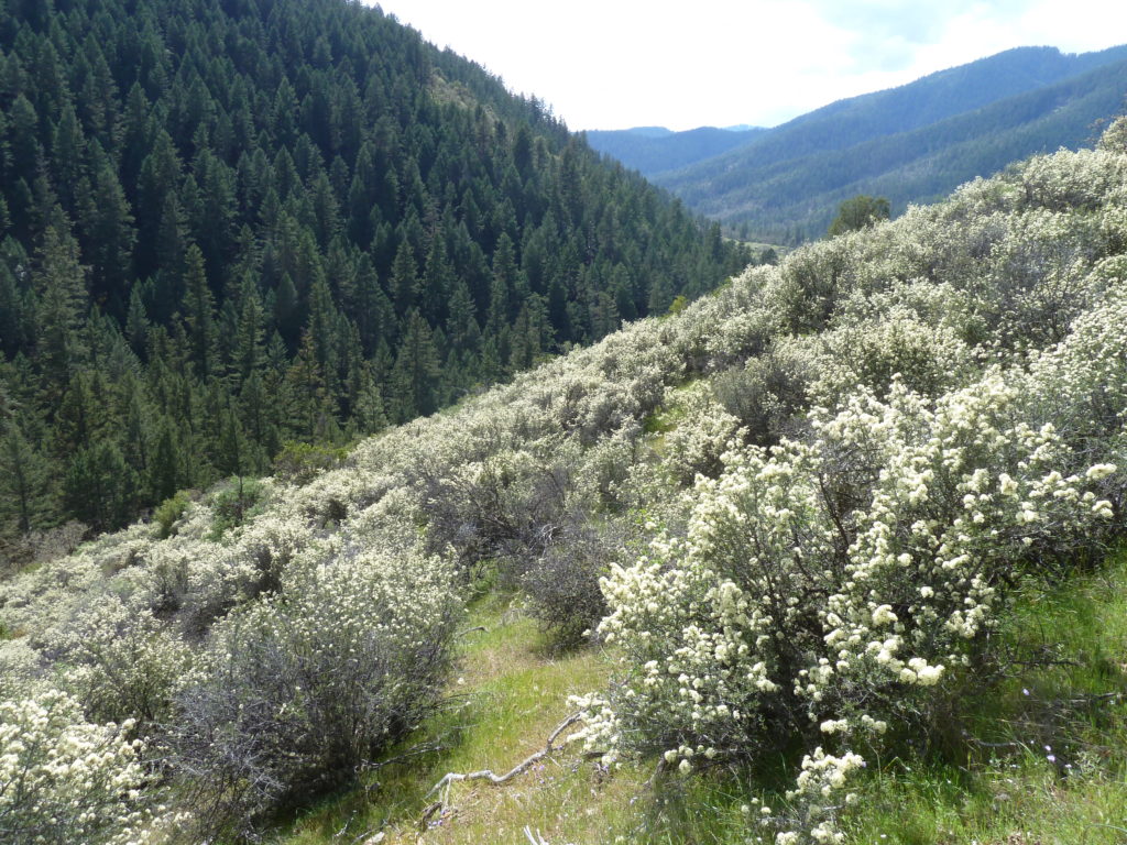
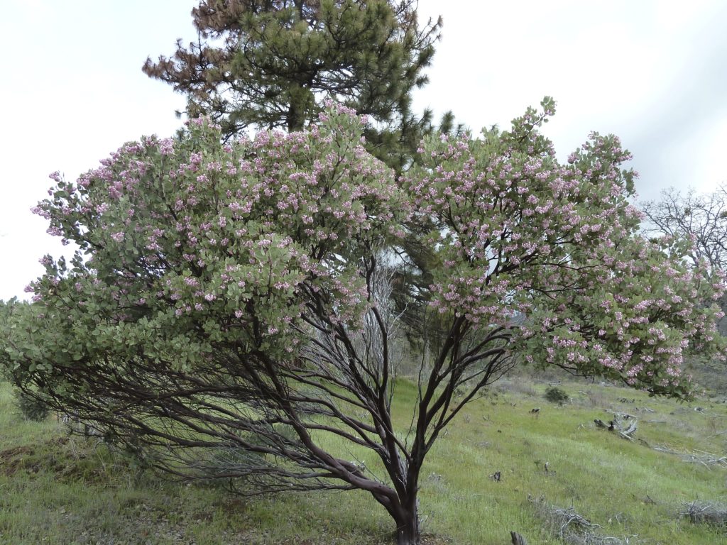
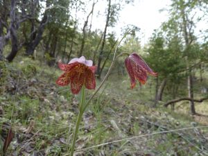
After a reasonably wet winter this year the spring wildflowers came out in force, filling the forests, woodlands and chaparral of the Applegate watershed with a kaleidoscope of color. Our spring hikes explored the beautiful Applegate foothills, low elevation old-growth forests, and unusual serpentine habitats. We designed these hikes to highlight obscure places in our region and the Applegate’s incredible biodiversity.
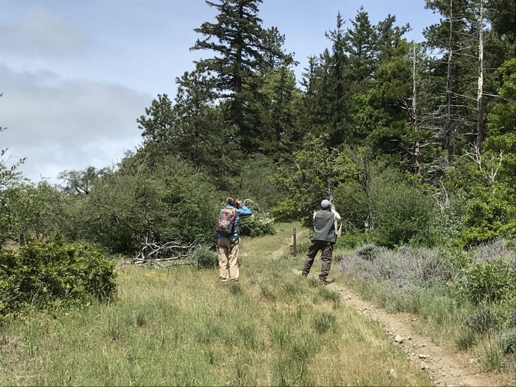
March 23, 2019 Whisky Creek Trail, Stricklin Butte Roadless Area, Middle Fork Applegate Watershed
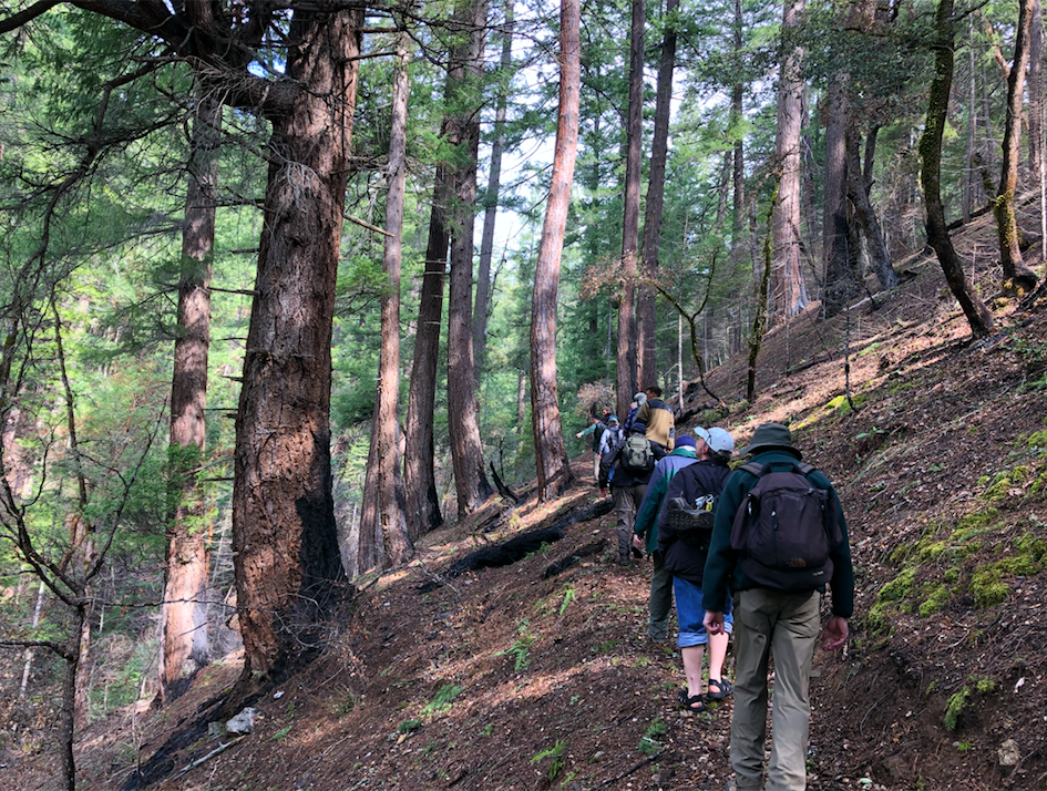
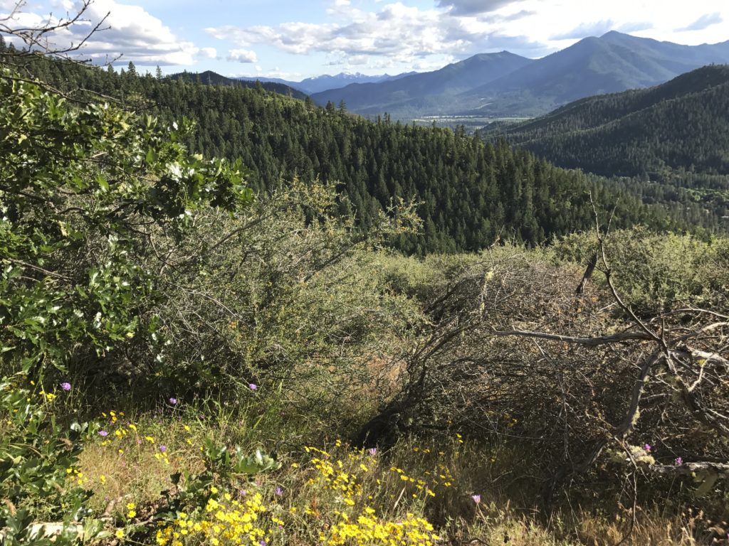
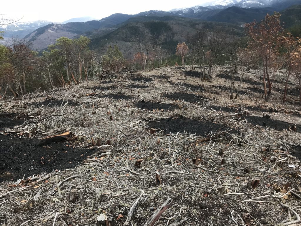
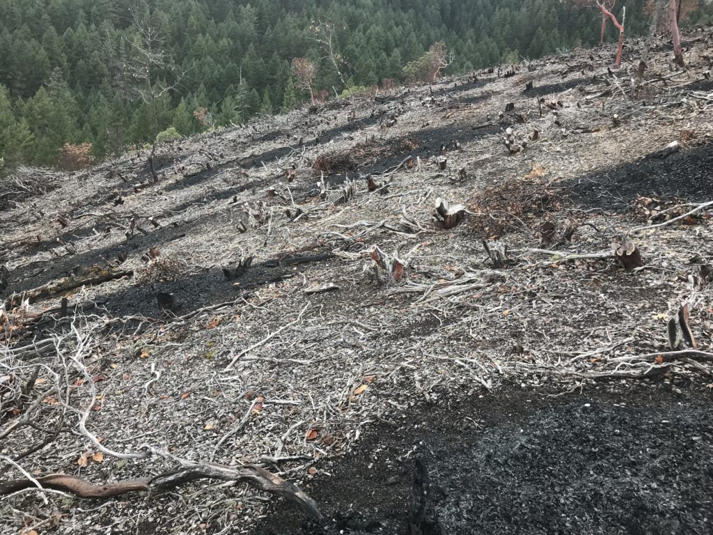
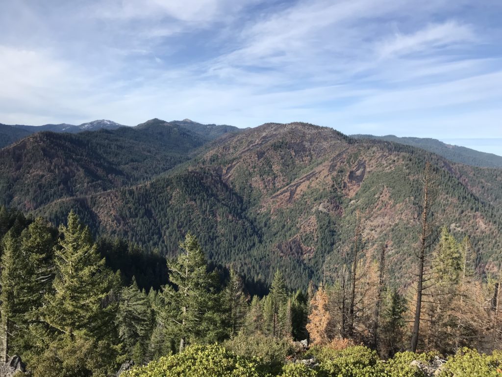
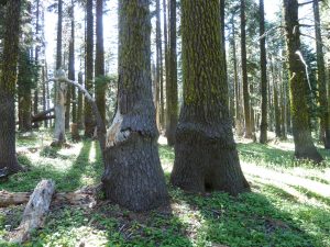
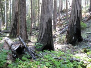
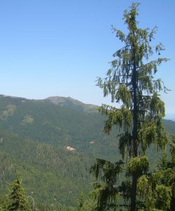
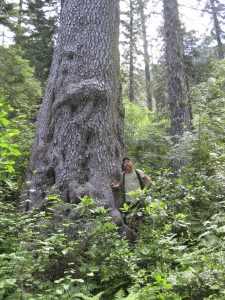
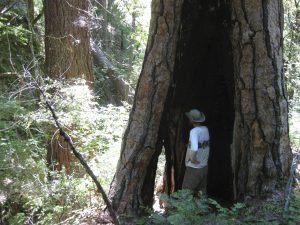
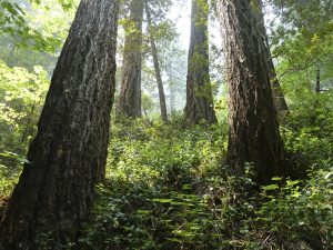
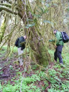
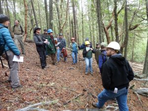
On March 23, ANN Executive Director, Luke Ruediger, and local ecologist Dennis Odion, led a fire ecology hike on the Whisky Creek Trail. Whisky Creek is a tributary of the Middle Fork of the Applegate River and is located in the Stricklin Butte Roadless Area. Until recently the Whisky Creek Trail was obscure and badly overgrown. Few even knew the old trail existed until the Siskiyou Mountain Club began clearing out the trail in the winter of 2017-2018.
The newly restored trail winds through the incredible Whisky Creek Canyon and its numerous bedrock gorges and cascades. Hike participants forded the cold waters of Whisky Creek, then hiked upstream into an area burned at low severity in the 2017 Abney Fire. The Abney Fire burned low and cool beneath old growth forest of pine, fir, cedar and massive, wide-branching live oak, maintaining the ancient canopy, enhancing understory communities, burning back underbrush, young trees and sprouting hardwoods. Thanks to Dennis Odion for coming along and sharing what he has learned studying wildfire effects in the Klamath-Siskiyou Mountains.
May 11, 2019 Cedar Log Flat Research Natural Area, Slate Creek Watershed
On May 11, we visited the serpentine flats, swift flowing streams and Jeffrey pine woodlands of the Cedar Log Flat Research Natural Area in the Slate Creek watershed, a tributary of the lower Applegate River. The area contains numerous rare plant species like Waldo buckwheat (Eriogonum pendulum), California lady slipper (Cypripedium californicum) and the only population of the carnivorous cobra lily (Darlingtonia californica) in the Applegate River watershed.
We would like to thank local botanist Chelsea Reha, local ecologist Dominic DiPaolo, serpentine expert and professor of plant ecology at Cal Poly San Luis Obispo, Nishi Rajakaruna, and UC-Davis Professor and serpentine plant ecologist, Dr. Susan Harrison. Together they provided abundant background information on serpentine ecology and helped identify plant species at Cedar Log Flat. We were thankful to have all these local experts along for a fun day exploring Applegate serpentine habitat.
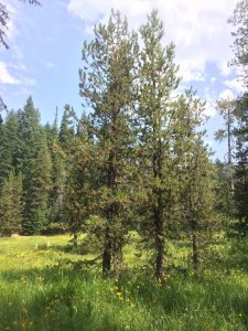
May 25, 2019 Sundown Trail, Wellington Wildlands, Humbug Creek Watershed
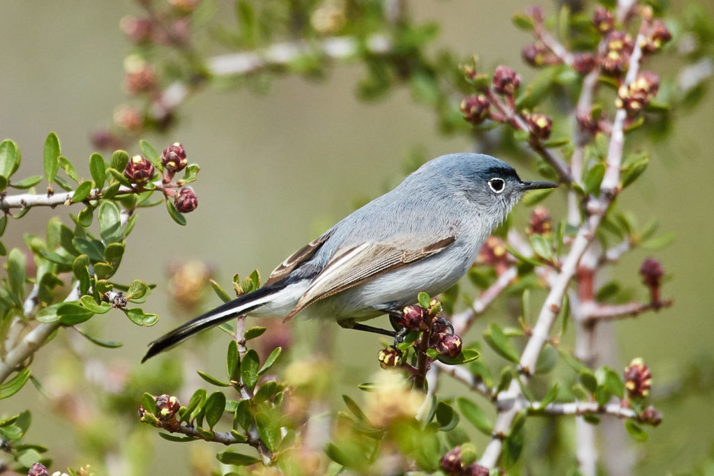
In late May we explored the Wellington Wildlands with ANN Board Member, Marion Hadden, for a beautiful bird walk on the Sundown Trail. The flowers were out in abundance and the song birds serenaded us in the chaparral, forest, woodland and grassland habitat at the headwaters of Humbug Creek’s wild Balls Branch. Thanks to Marion for sharing her knowledge of local bird populations and helping to identify the diversity of bird species in the Wellington Wildlands.
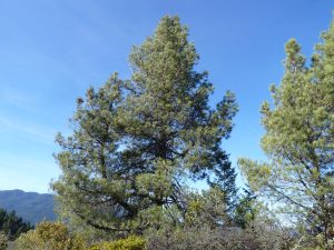
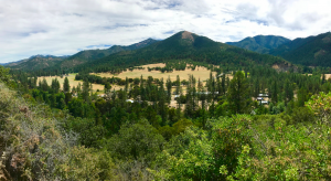
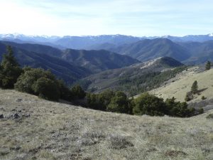
June 1, 2019 Tallowbox Mountain, Burton-Ninemile LWC, Star Gulch Watershed
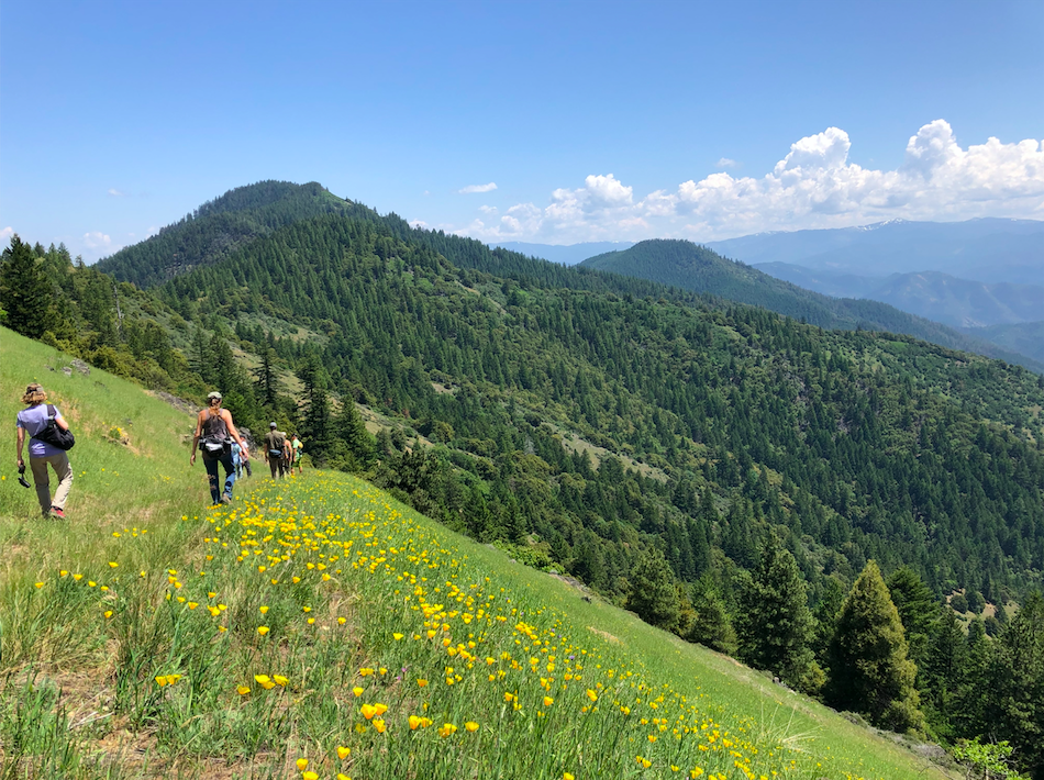
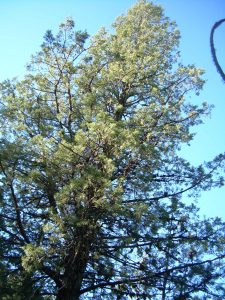
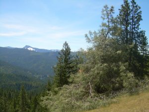
On June 1, ANN Executive Director, Luke Ruediger, led a hike up to Tallowbox Mountain for spectacular views across the Burton-Ninemile Lands with Wilderness Characteristics (LWC), the Middle Applegate/Ruch and the Upper Applegate Valley. We hiked an obscure route across the face of Tallowbox Mountain’s southern face to Lady Bug Saddle, and also took a side trip to the summit of Tallowbox Mountain. We enjoyed vibrant displays of California poppy, lupine and many other wildflowers. We specifically planned the hike to highlight the only population of giant death camas in Oregon (Toxicoscordian exaltatum) while it was in bloom on Tallowbox Mountain. Giant death camas is only found in the eastern portion of the Applegate watershed in Oregon, including the Middle Applegate, Little Applegate and Upper Applegate Watersheds.
Summer Hikes
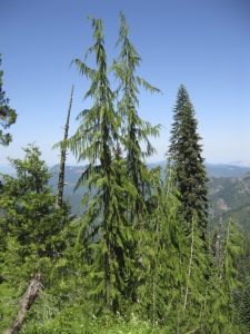
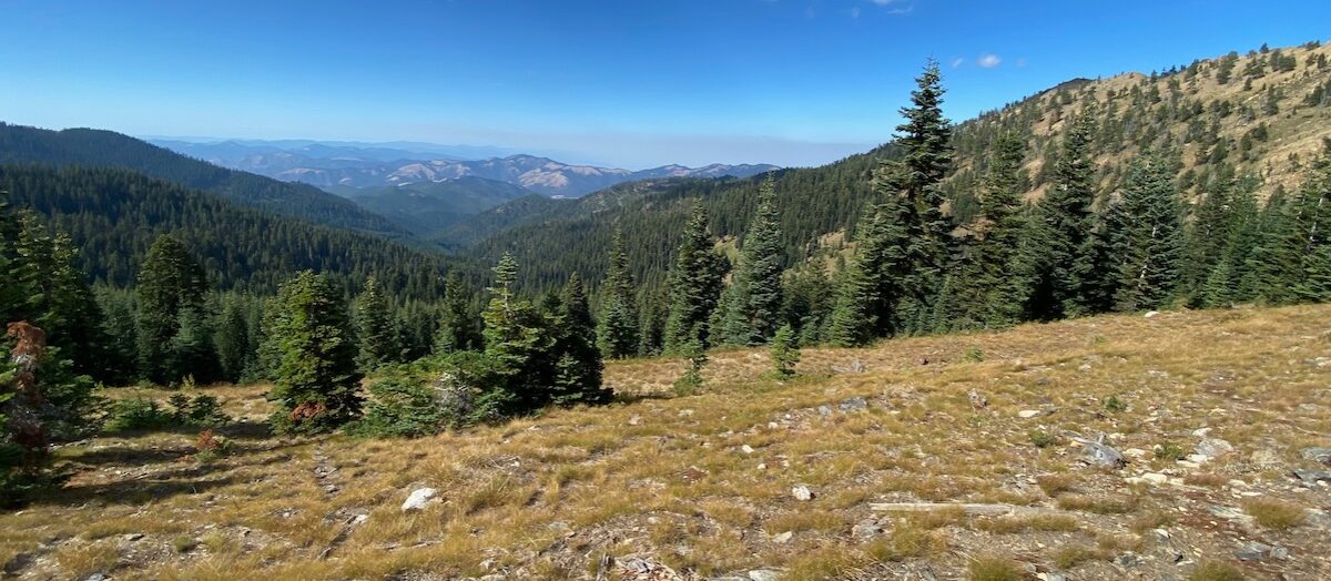
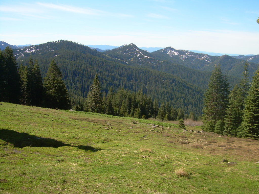
With the snow melting in the high country ANN led numerous hikes on the Siskiyou Crest, exploring subalpine forests, high elevation meadows, beautiful mountain summits, and windswept rock gardens packed with rare plants. These hikes were designed to be educational and to highlight the region’s biodiversity, scenic beauty, history and wildland habitats.
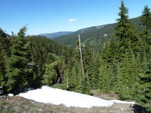
July 13, 2019 Mt. Elijah, Oregon Caves National Monument
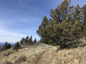
Our first high country hike was led by Diana Coogle, co-author of the local hiking guidebook, Favorite Hikes of the Applegate. Diana led the hike from Sturgis Fork Trailhead, at the headwaters of Carberry Creek, to the Grayback Range, which divides the Applegate River watershed from the Illinois River watershed. The hike explored lush subalpine forests, high mountain meadows and rocky ridgelines as the trail climbs into the Oregon Caves National Monument and to the summit of Mt. Elijah. The group explored spectacular floral displays, and from Mt. Elijah, enjoyed one of the most cherished views in the Siskiyou Mountains. Thanks to Diana Coogle for leading the hike and sharing one of her favorite hikes with ANN supporters.
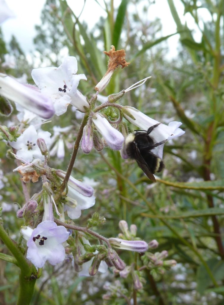
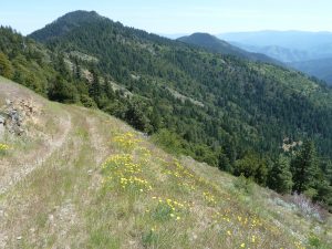
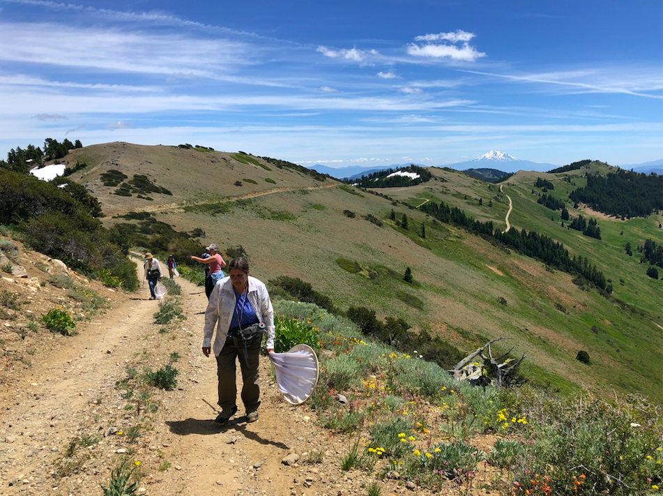
July 17, 2019 Butterflies and Wildflowers on the Siskiyou Crest
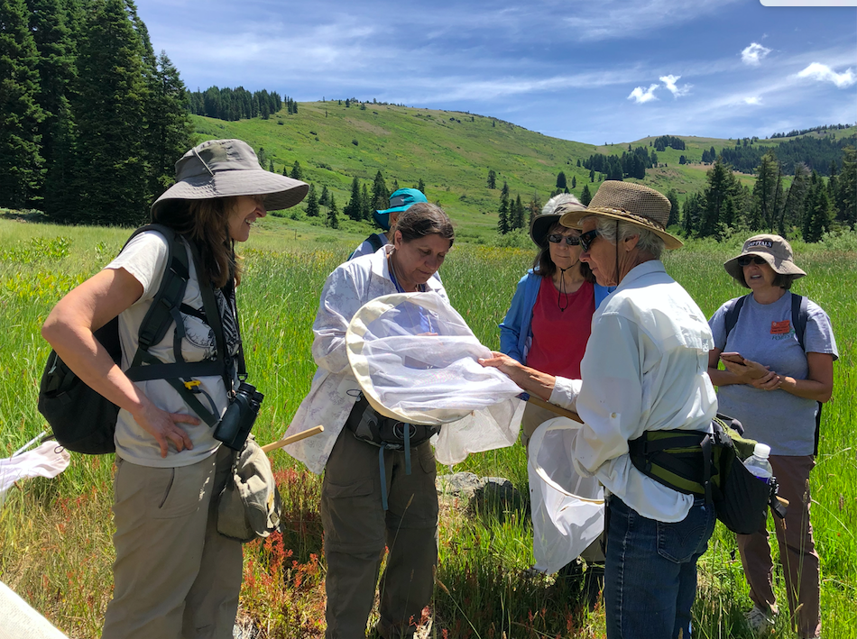
This hike was designed to highlight both the botanical diversity of the Siskiyou Mountains and the corresponding diversity in butterfly species. We had local naturalist, Applegate resident and butterfly expert, Linda Kappen, along to identify butterflies. We also had naturalist, Applegate resident, and native plant enthusiast, Suzie Savoie, along to identify wildflowers and other botanical highlights.
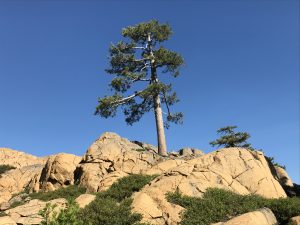
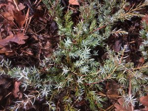
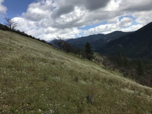
The hike explored Silver Fork Basin on the Siskiyou Crest at the headwaters of Elliott Creek. Silver Fork Basin is nestled between two scenic peaks: Dutchman Peak and Observation Peak. We hiked into the vast meadow system safely netting butterflies for identification and discussed the connection between local wildflowers and the lifecycle of local butterflies. We also hiked to the Dutchman Peak Lookout to enjoy rock gardens and expansive views across the region. We found large populations of rare and endemic plant species blooming on Dutchman Peak, including splithair paintbrush (Castilleja schizotricha) and Henderson’s horkelia (Horkelia hendersonii). We learned to identify butterfly species along the way, including the many brightly colored elegant sheep moths that flew around us as we hiked.
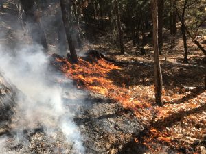
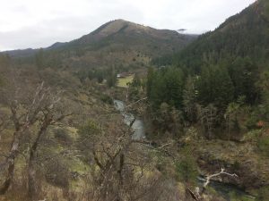
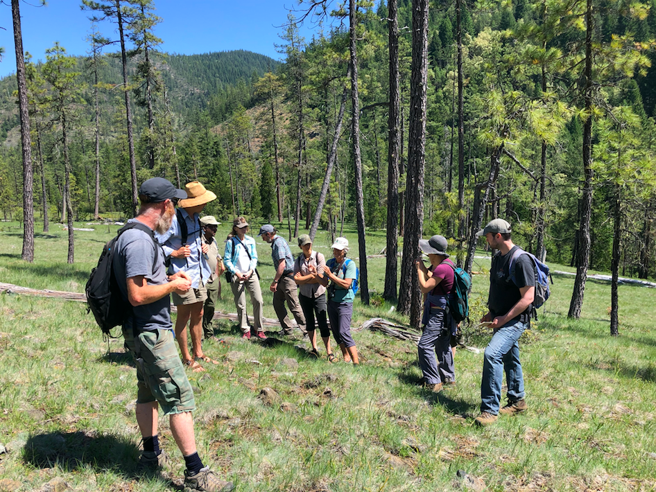
August 3, 2019 Tin Cup Trail, Condrey Mountain Roadless Area, Joe Creek Watershed
Our final hike of the season was led by Janeen Sathre, fourth-generation Applegate resident, historian, and co-author of the local hiking guidebook, Favorite Hikes of the Applegate. We drove up to the Blue Ledge Mine and discussed the interesting human history of the Elliott Creek and Joe Creek Watersheds, including the Blue Ledge Mine and the now forgotten ghost towns of Blue Ledge Camp, Eileen, and Joe Bar City. We then hiked the Tin Cup Trail in the Condrey Mountain Roadless Area to the Siskiyou Crest and the Pacific Crest Trail. ANN Executive Director, Luke Ruediger, provided information on fire ecology as we walked up Nabob Ridge through the 2017 Abney Fire to Slaughterhouse Flat and Lowden Meadows. Wildflowers bloomed in abundance in the fire area and at Lowden Meadows where we ate lunch and enjoyed views of distant Mt. Shasta amid fields of sulphur flower buckwheat (Eriogonum umbellatum).
Gratitude

To all who led ANN hikes this season: THANK YOU! To all who attended, we hope to see you next year! ANN knows where the wild things are, and we will continue sharing our love for this region with our supporters. We hope that participants have learned more about this region, its biodiversity and wild habitats. We also hope you will use that knowledge and connection to advocate for its protection. Please join ANN as we work to protect the wildlands and natural habitats in the Applegate Watershed. We can’t do it without your support! Thank you!