The BLMs new Resource Management Plan and its impact on the Applegate Valley.

The New BLM Resource Management Plan and its Impact on the Applegate Valley.

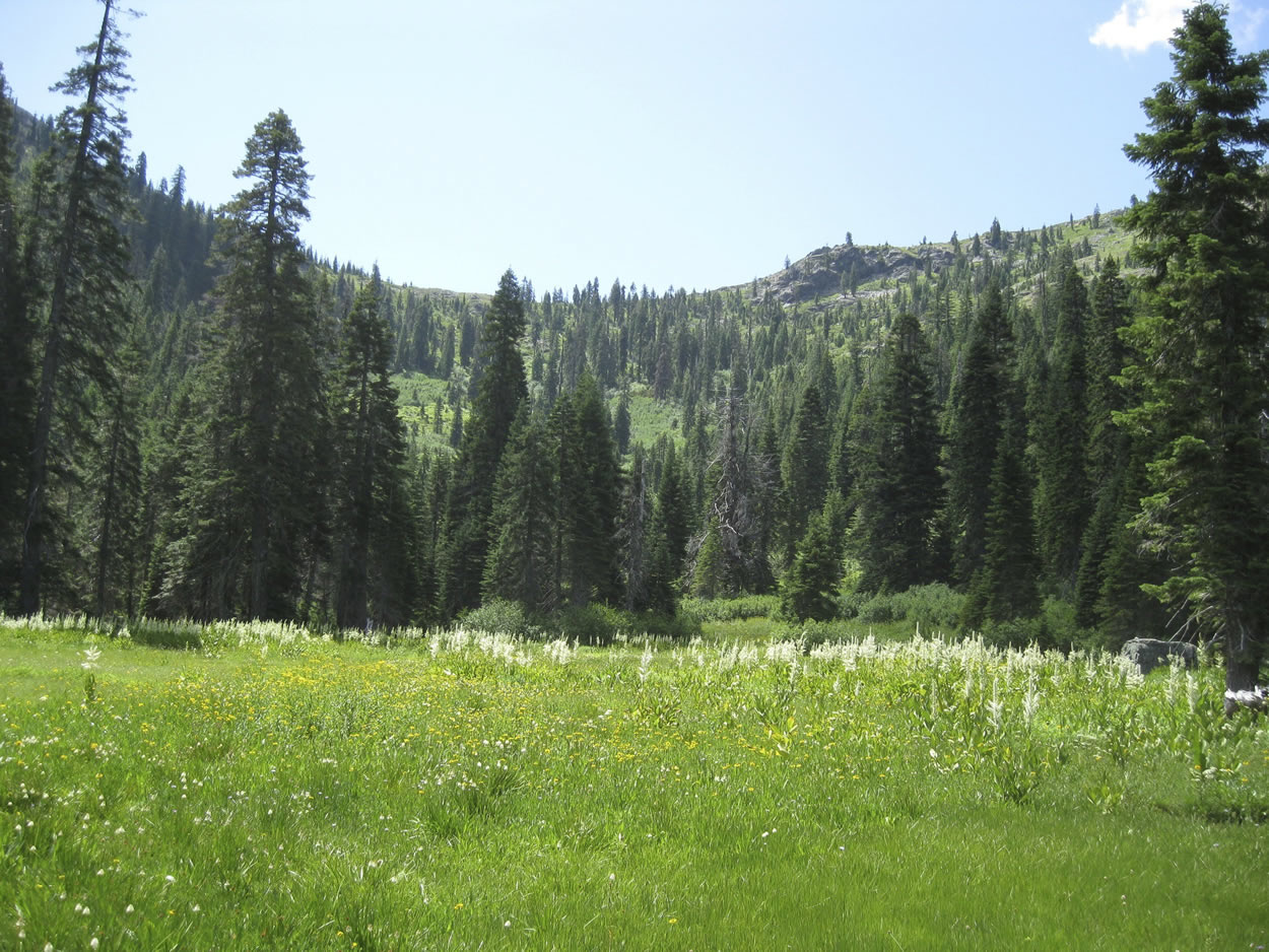
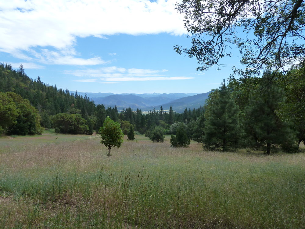
The Wellington Butte Roadless Area and LWC along many other special places in the Applegate Valley will be open to logging, road building and motorized recreation in the new RMP.

The BLM has released a new Resource Management Plan (RMP), intended to direct management activities throughout western Oregon, including the Applegate Valley. The implications of this new plan for our forests, rivers, wildlife, wildands and communities are concerning to say the least. The plan will turn back many important environmental protections and eliminate land management designations that promote community-based collaboration in the Applegate Valley.

The new RMP would eliminate or reduce many of the environmental protections of the Northwest Forest Plan. The plan would reduce streamside logging buffers by half, impacting 300,000 acres currently protected as Riparian Reserves. Commercial logging in Riparian Reserves will not only harm water quality and our endangered fisheries, but also it will harm rare and/or endangered species such as the Pacific fisher and northern spotted owl. Riparian Reserves were meant to preserve connectivity on the landscape scale and improve or protect riparian habitat from logging disturbances. In dry regions like the Applegate Valley our streams must be protected, our communities rely on them for fisheries, wildlife habitat, sustenance and recreation. They flow through our valley and past our homes.

The plan would also allow logging 278 million board feet of timber annually, an increase of 37% since the last plan was approved in 1995. The new RMP emphasizes clear-cut logging techniques on nearly 500,000 acres of land in Oregon’s moist forests and proposes a large increase in logging in the dry forests of southwestern Oregon. The increased logging will increase fuel and fire hazards adjacent to our communities and in important forest habitats. It will also degrade important wildlife habitats, impact water quality, log off some of our last intact forests and destroy the viewshed from our communities and homes.

For example, the new RMP will eliminate the proposed designation and protection of two “Lands with Wilderness Characteristics” in the Applegate Valley. Both areas were inventoried and found worthy of LWC protection. Unfortunately, the BLM is removing these areas LWC status and protections, leaving the Dakubetede and Wellington Butte LWC open to logging, road building and motorized recreation.

The Dakubetede Roadless Area and LWC will be stripped of LWC protections and opened to logging, road building and motorized recreation in the new RMP.

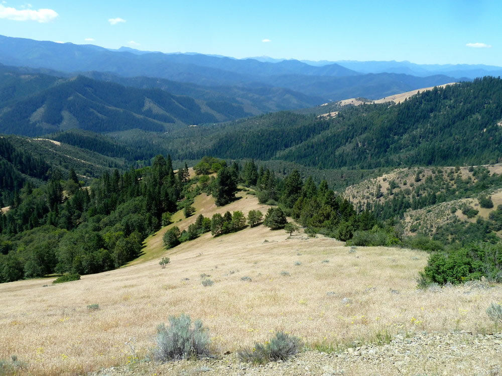
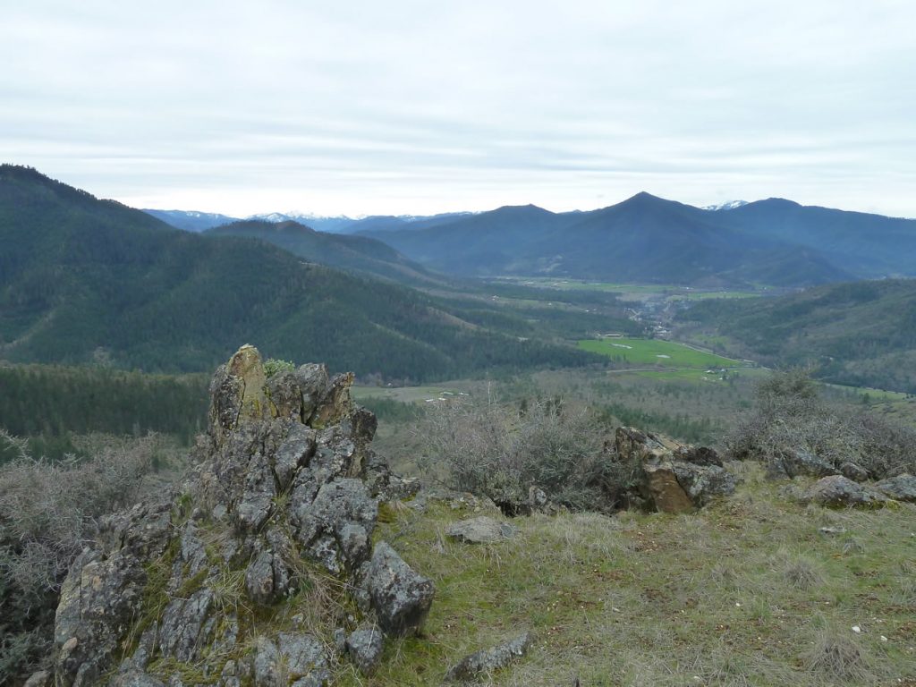
The Dakubetede LWC is centered around Anderson Butte and the arid slopes of the Little Applegate Valley. The LWC is traversed by the Sterling Mine Ditch Trail and portions of the proposed Jack-Ash Trail. The Wellington Butte LWC, is located near Ruch, Oregon and is the wild core of the proposed Applegate Ridge Trail (ART).  Having become hotspots for non-motorized recreation, both LWCs are well loved by residents of the Applegate Valley and southwestern Oregon. Together the land management practices proposed in the RMP will forever degrade these wildlands and the pristine nature of the proposed ART and Jack-Ash Trails, impacting the quality of life, habitat and the recreation based economy of the Applegate Valley.

Perhaps most important to local Applegate Valley residents is the elimination of the Applegate Adaptive Management Area (AMA). The AMA was designated in 1994 to encourage innovative, ecologically responsible and collaborative land management planning in the Applegate watershed. The AMA was designed to provide the community with opportunities to collaborate and develop “idiosyncratic” methods of land management based on community values and ecological needs.

The Applegate Valley has been a model of community engagement with local land managers. We have worked to create collaborative and socially acceptable land management projects in the AMA. As a community we have worked for 22 years towards consensus, building collaborative capacity and supporting the AMA. Many in the Applegate Valley have invested heavily in the AMA process, working to create a voice for our community and build trust between the BLM and local residents. Removing the AMA designation betrays that trust and will eliminate the BLM’s mandate to work collaboratively with our community and practice innovative forestry practices.

The majority of BLM land in the Applegate Valley would be located within the “Harvest Land Base,” meaning that logging would be the primary form of land management. Timber production would be prioritized over ecological, social or community values within the Harvest Land Base, including within the Dakubetede and Wellington LWCs, numerous Recreational Management Areas, and the corridors proposed for the Jack-Ash and Applegate Ridge Trails.

The majority of the BLM forests in the Applegate Valley will be located within the “harvest land base.” These lands will be subjected to a 37% increase in timber production.

Some BLM lands in the Applegate watershed will be managed as Late Successional Reserves (LSR). A large block of LSR has been designated in the Williams watershed, Thompson Creek watershed and the western half of the Upper Applegate River watershed. Despite the stated goal of providing large blocks of late successional habitat for the recovery of the northern Spotted Owl, the BLM would mandate the logging of 17,000 acres per decade on the Medford District within these important LSRs.

Although the BLM claims to be emphasizing recreation and conservation in the RMP, nearly all designated conservation and recreation areas would prioritize timber production and motorized recreation. Our two most loved wild areas, the Dakubetede and Wellington Butte LWC will be open to logging, road building and motorized recreation. The corridors of the Jack-Ash and Applegate Ridge Trail will be proposed for timber management and open to motorized use.   Likewise, our beloved AMA has been axed, along with more than two decades of effort from our community. The new RMP represents old, outdated thinking and a bias towards industrial land management. The residents of the Applegate Valley are looking forward to a more sustainable future. Will the BLM join us?

Please contact your elected officials and tell them that we want our wild places, old forests, clear flowing streams and non-motorized recreation areas protected from logging, road building and OHV use. Ask them to:

  • Revoke the Record of Decision for the new RMP and create a new plan that balances ecological, social and economic values.
  • Maintain stream side logging buffers as proposed in the Northwest Forest Plan
  • Reduce the annual allowable cut by maintaining stream buffers, old forests, LSR habitat, roadless areas and northern spotted owl habitat.
  • Maintain LWC status and protection for the Wellington Butte and Dakubetede Roadless Areas.
  • Reinstate and reinvigorate the Applegate Adaptive Management Area designation. Use this designation to facilitate community collaboration and innovative land management.
  • Reinstate survey requirements for rare wildlife species, plants, lichen and fungus.

Contacts:

Ron Dutton, State BLM Director

BLM_OR_SO_Land_Office_Mail@blm.gov

Representative Peter Buckley:

Rep.PeterBuckley@state.or.us

Sally Jewell, Secretary of the Interior:

exsec_exsec@ios.doi.gov

Senator Ron Wyden:

https://www.wyden.senate.gov/contact/

Representative Greg Walden

https://walden.house.gov/contact-greg/email-me


Nedsbar Environmental Assessment Released! Public Comments Needed.

Nedsbar Timber Sale

Public Comment Guide

Unit 28-10B in the Bald Mountain Roadless Area. Trees up to 42
Unit 28-10B in the Bald Mountain Roadless Area. Trees up to 42″ diameter are marked for removal. The stand is naturally fire resistant with large, well spaced trees, minimal understory fuels and high canopies. Logging will remove late-seral characteristics while increasing understory fuel and fire hazards.


On July 2, 2016, the Medford District BLM released the Nedsbar Forest Management Environmental Assessment (EA). The EA analyzes the predicted environmental impacts of various action alternatives. The primary alternative proposed by the BLM is Alternative 4, which would target some of the most intact, fire resistant forests in our region. The alternative would include 1,500 acres of commercial logging in the Little Applegate and Upper Applegate Valleys.  If implemented, Alternative 4 will increase fire hazards by removing excessive levels of forest canopy and large, fire resistant trees.

The proposal would log some of the most scenic backcountry in the Applegate Valley along the proposed Jack-Ash Trail and within the viewshed of the popular Sterling Mine Ditch Trail. It would also log forests directly adjacent to our communities in the Little Applegate and Upper Applegate Valleys, impacting the scenic quality of our properties and the view from many of our homes. The timber sale would affect our neighborhoods and homes, as well as the region’s bourgeoning recreation-based economy, wildlife habitat, wildlands, and the beauty of the valley we love.

Fortunately, local residents, the Applegate Neighborhood Network (ANN) and Community Alternative Working Group joined forces to create a more responsible, sustainable, and fire-wise alternative. Known as Alternative 5 in the Environmental Assessment, the Community Alternative would retain higher levels of canopy cover and large, fire resistant trees, while reducing fuels, promoting forest health, and producing a sustainable amount of timber.

The BLM has fully analyzed our community-based alternative and acknowledged that it meets the “purpose and need” of this forest management project. Alternative 5 is also consistent with the mandates of the Applegate Adaptive Management Area that was designated to encourage collaboration, innovation and community involvement in public land management planning and implementation. Please consider writing a public comment to the BLM. Comments will be accepted until August 1, 2016. Comments can be sent to: blm_or_md_mail@blm.gov

Below is an analysis of impacts associated with the BLM’s Alternative 4, in comparison to the Community Alternative, Alternative 5.

Fire/Fuels

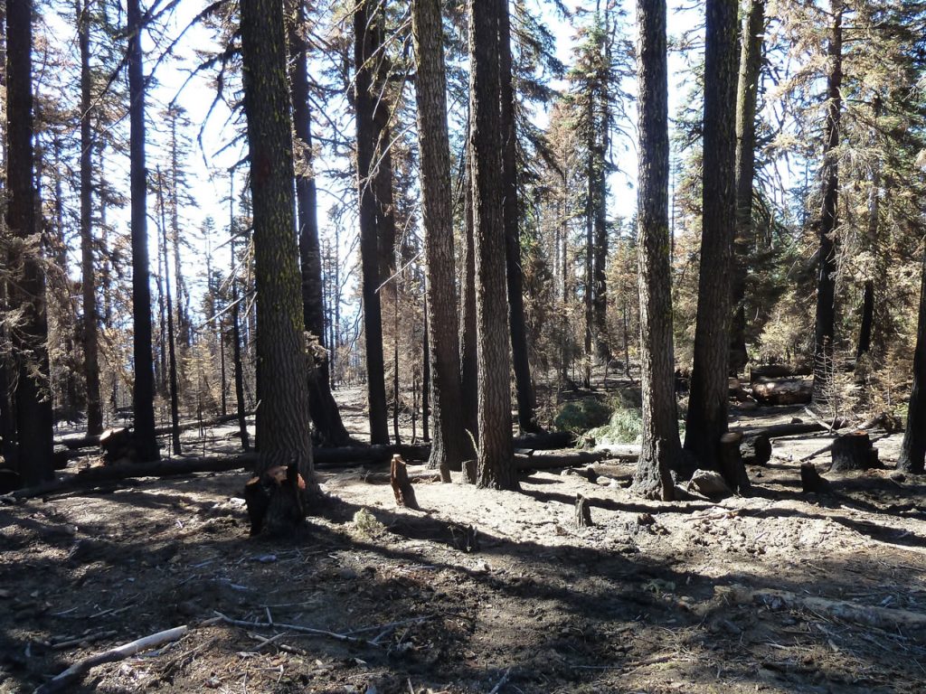
An example of dense understory fuel increase following commercial logging treatments on BLM lands in the Applegate Valley. As these understory fuel loads grow they create extreme fuel loads and fuel laddering, drastically increasing fire hazards.

BLM’s Alternative 4

Alternative 4 would increase fire hazards adjacent to our communities by removing excessive levels of canopy cover, removing large fire resistant trees and targeting intact, naturally fire resilient forests. The heavy canopy cover reductions proposed in Alternative 4 will drastically increase fuel loads and fuel laddering by encouraging a dense shrubby understory beneath the remaining “leave” trees. The reduction of canopy will also extend fire season by allowing stands to dry out much earlier in the fire season. This pattern can be seen across the Applegate Valley in stands that were logged in the last 10-20 years.

The BLM will also be removing many large, fire resistant trees that are the cornerstone of fire resilience and are most likely to survive the effects of a summer wildfire. These large trees are also particularly important for wildlife and contribute to the scenic qualities of the Applegate Valley.

Finally, Alternative 4 proposes to significantly reduce canopy cover levels and remove large, old fire resistant trees in many of our most intact, fire resilient forests. Many of these stands consist of large, old trees with fire resistant characteristics such as closed canopy conditions that suppress shrubby understory fuels, thick insulating bark, high canopies and sufficient spacing between live trees. These stands are naturally fire resistant and are the most likely locations on the landscape to sustain low to moderate severity fire effects in a summer wildfire scenario. The relative abundance of intact fire resistant forest contributes directly to our area’s fire resilience. Logging these stands will increase fuels and fire risks, potentially encouraging high severity fire effects.

Nedsbar Community Alternative, Alternative 5

In treated stands, the Community Alternative, Alternative 5, will retain adequate levels of canopy cover to address forest health concerns, suppress shrubby understory fuels and reduce the likelihood of extending fire season by drying treated stands. Alternative 5 will also retain all large, fire resistant trees over 20” in diameter and retain the currently intact, fire resistant stands in our more remote and unroaded wildlands. Alternative 5 is also the only alternative to propose the use of prescribed fire to more effectively reduce understory fuels and restore low intensity fire to long unburned areas. The Community Alternative will reduce fuels, maintain fire resistant stands, protect large fire resilient trees, and begin to restore fire to ecosystems in need.

Unroaded Areas

Alternative 4 proposes new road construction through these beautiful oak woodlands in the Trillium Mountain Roadless Area. The road would be built to access the uncut forest on the north facing slopes. The road would be built on the ridgeline at the center of the photo.

 BLM’s Alternative 4

 The BLM is proposing to commercially log nearly 1,500 acres in the Nedsbar Forest Management Project. Of this total, 72%, or 1,086 acres are proposed in citizen identified roadless areas, including the Buncom, Bald Mountain, Boaz Mountain, and Trillium Mountain Roadless Areas. These are the last intact ecosystems in the foothills of the Applegate Valley and were recently proposed by Senator Wyden as a large Back-Country Primitive Area. In response to the proposed protection of these areas, the BLM proceeded to target them for logging before they could be protected. Many of the stands proposed for logging are late-seral or old-growth stands that provide exceptional wildlife habitat.

The BLM is also proposing to build 3.2 miles of new road to access commercial logging units. BLM’s Alternative 4 will build over 2 miles of new road across the roadless western face of Trillium Mountain and in the riparian reserve of Lick Gulch in the Trillium Mountain Roadless Area. This new road would sever the roadless area and badly damage the area’s habitat connectivity, scenic qualities, hydrology, wildlife habitat, riparian habitat, and native plant communities, while increasing OHV use.

Currently, these unroaded areas provide important wildlife habitat, harbor intact native plant communities, sustain old-growth forest habitats, and offer solitude and non-motorized recreational opportunities to local residents and visitors. These important values will be degraded by the proposed logging prescriptions in Alternative 4.

Nedsbar Community Alternative, Alternative 5

No new roads will be constructed under Alternative 5. The Community Alternative will protect unroaded habitats and the important values they provide. Proposed logging treatments will include roughly 200 acres within unroaded areas without the use of new road building, but these treatments will retain all large trees and adequate canopy cover. These units will be located in mid-seral stands at the edge of unroaded areas within a few hundred feet of existing BLM roads. Their primary purpose is the creation of roadside fuel brakes intended to aid in the containment of wildfire or future prescribed fires. The effect will be an increase in forest health and fire resilience, yet the intact nature of these stands will not be compromised.

The Community Alternative proposes to eliminate 19 units on over 800 acres in unroaded areas that are proposed for logging in BLM’s Alternative 4.  

Recreation

The view from the Sterling Mine Ditch Trail across the Little Applegate River Canyon to units 27-20 and 26-20, proposed for logging in Alternative 4. One mile of new road construction would be built in the Trillium Mountain Roadless Area to facilitate logging these uncut forests.

 BLM’s Alternative 4

The BLM has proposed logging 57 acres of intact old-growth forest on the proposed route of the Jack-Ash Trail. The Jack-Ash Trail is proposed to extend from Jacksonville to Ashland, Oregon and is poised to become a recreational hotspot for residents of southwestern Oregon and visitors to the area. The proposed logging units are located within one of the trail’s wildest sections in the Bald Mountain Roadless Area. Trees up to 42” in diameter have been marked for logging.

BLM’s Alternative 4 proposes to log numerous units directly across from the Sterling Mine Ditch Trail. These units are predominantly located in the Trillium Mountain Roadless Area, an area that currently appears completely undisturbed. The majority of these units would be logged to 40% canopy cover, which would make the logging units very prominent and disruptive to the trail’s viewshed. At least 25 units would be highly visible from the Sterling Mine Ditch Trail.

Nedsbar Community Alternative, Alternative 5

The Community Alternative, Alternative 5, would protect the viewshed of the Sterling Ditch Trail. Only 4 units would be visible from the Sterling Mine Ditch Trail, but these units would reduce canopy cover far less drastically than proposed the BLM treatments, making the units less visible and more naturally appearing.

The Community Alternative proposes no logging in the Bald Mountain Roadless Area, eliminating the impact of old-growth logging on the Jack-Ash Trail.

In an era of diminishing opportunities to hike in areas unmarred by logging, road building or other industrial impacts, it is vital to retain the natural characteristics of the Applegate landscape for the economical importance of our growing recreational economy.

Northern Spotted Owl Habitat

 BLM’s Alternative 4

Alternative 4 would impact Northern Spotted Owl (NSO) habitat and complex, late-seral forest habitat by “removing” or “downgrading” NSO habitat. Removing habitat means that habitat conditions following logging operations have been degraded to the extent that NSO will no longer use the area for nesting, roosting, foraging (NRF) or dispersal. Downgrading habitat means that the quality of habitat following logging operations will be less useful to the owl than it was prior to logging treatments.

For example, habitat currently identified as suitable for nesting, roosting and foraging would be “downgraded” to dispersal, meaning that the habitat conditions would no longer support nesting, roosting or foraging habitat and will only function for NSO that are “dispersing” or migrating through the area. Dispersal habitat can be downgraded to “capable” habitat, meaning it is currently not useful to the NSO, but the soils and climactic conditions could support the complex forest that in turn supports the NSO.

BLM’s Alternative 4 proposes to remove 109 acres of NRF habitat and 217 acres of dispersal habitat. The proposal also includes 269 acres of NRF downgrades to dispersal habitat. In total, 595 acres, or 40% of the commercial logging acres are proposed to have negative impacts on the Northern Spotted Owl.

Nedsbar Community Alternative, Alternative 5

Alternative 5 would protect and promote high quality NSO habitat by deferring many of the most complex, old forest habitats from treatment. Habitat conditions would be maintained in harvested units by retaining canopy cover levels to between 50% and 60%, for the majority of units, as well as retaining all large, old trees. This is an important component of the Community Alternative because it is important that NSO is protected within treated areas.

Although the Community Alternative Working Group developed an alternative with guidelines to protect NSO habitat, the BLM analysis of the Community Alternative, Alternative 5, has shown a supposed downgrade of 26 acres of NRF habitat. We have requested information regarding where these supposed downgrades will occur in the Community Alternative, but we have not yet received a response from the BLM. 

BLM’s Environmental Analysis shows that NRF downgrades and removals are nearly 15 times more prevalent in BLM’s Alternative 4 than in the Community Alternative, Alternative 5.

New Road Construction

 BLM’s Alternative 4

Alternative 4 proposes 3.24 miles of new permanent road construction and 1.28 miles of temporary road construction. According to BLM nearly ¼ mile of new road would be built in the bottom of Lick Gulch, potentially creating significant levels of sedimentation. Road reconstruction would take place on 4.45 miles of road. Alternative 4 would also build 12 new helicopter landing sites.

 Nedsbar Community Alternative, Alternative 5

The Community Alternative proposes no new road construction, temporary or permanent. Road reconstruction would take place on 0.31 miles of existing road and no new helicopter landings would be built.

The BLM already has an enormous backlog of deferred road maintenance because of budget constraints. It is fiscally irresponsible to build new roads with public money when there will not be funding for long-term maintenance. Roads are a major source of sediments in our streams that have long-lasting and detrimental impacts to anadramous fish populations. The financial and ecological impacts of continued road building are just too high.

Large Tree Retention

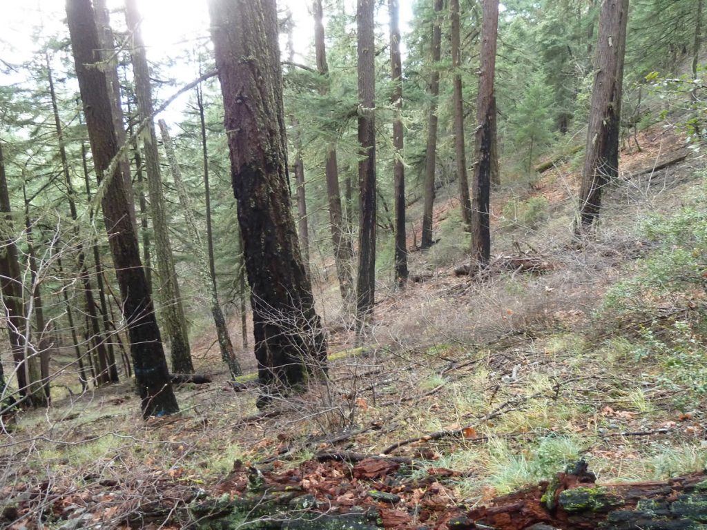
A large, old tree marked for removal in unit 35-32 at the headwaters of Grouse Creek. This lush old forest would be logged to 40% canopy cover in Alternative 4. 

 BLM’s Alternative 4

The BLM has refused to impose a diameter limit on Alternative 4. Community monitoring has documented trees up to 42” in diameter marked for removal. According to the BLM timber tally, 501 trees over 20” in diameter are proposed for removal. This number excludes 24 units that were “leave” tree marked, making quantifiable numbers more difficult to produce. This is extremely significant because numerous units with large, old trees marked for removal are currently not included in this estimate. In many units basal area targets necessitate the removal of large trees over 20” in diameter.

Nedsbar Community Alternative, Alternative 5

The community alternative identifies a 20” diameter limit across the entire project area. No trees over 20” in diameter would be removed under the prescriptions outlined in Alternative 5.

Public comments can be sent to: blm_or_md_mail@blm.gov

Subject: (Attention: Kathy Minor-Ashland Resource Area-Nedsbar)


Jack-Ash Trail Environmental Assesment Released by BLM

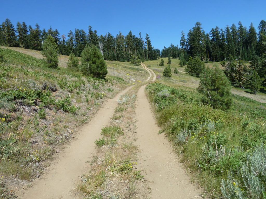
The view from the Jack-Ash Trail near Anderson Butte

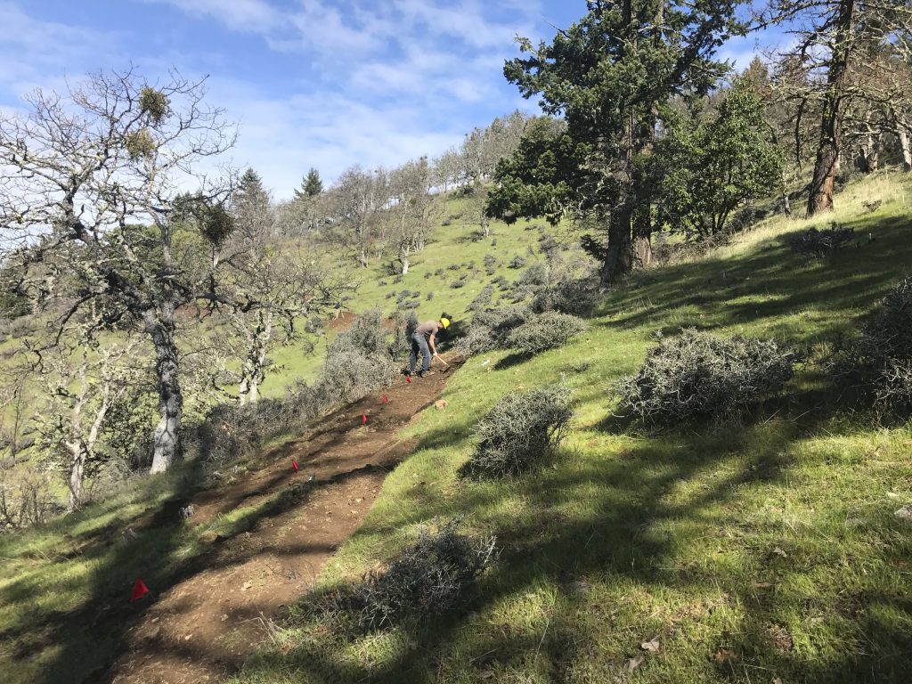
One of our member organizations, the Siskiyou Upland Trails Association, has been working to maintain and create new non-motorized trails in the Anderson Butte area. The BLM has released an Environmental Assessment for phase one of the Jack-Ash Trail. The following blog post was written by SUTA board member, Hope Robertson:

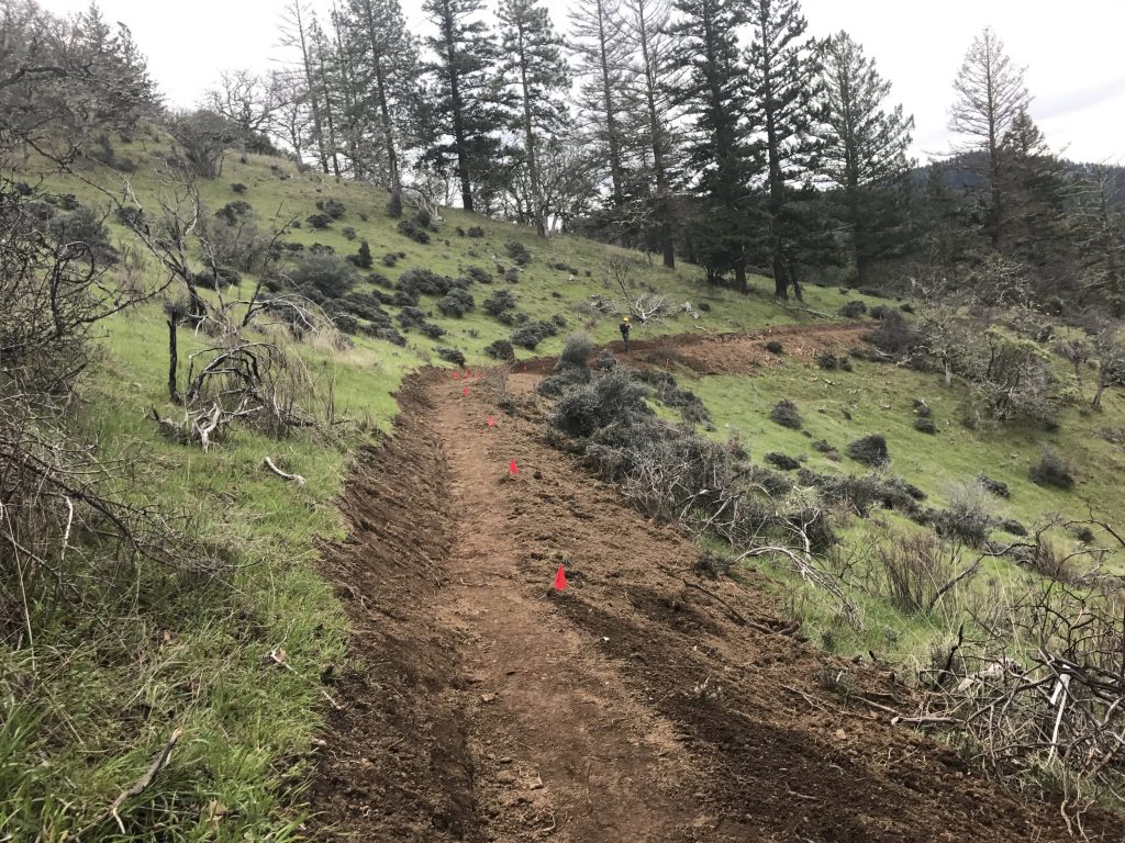
We are extremely excited to report that the BLM issued the  Environmental Assessment (EA) for the first phase of the Siskiyou Upland Trails Association’s (SUTA) Jack-Ash Trail project on June 17th. This trail will ultimately run between the Jacksonville and Ashland trail systems and connect to the Applegate Ridge Trail system proposed by Applegate Trails Association (ATA). The first phase of the Jack-Ash, covered in the EA, will connect to both ends of the Sterling Mine Ditch trail system, creating a giant loop around Anderson Butte. This non-motorized trail system will expand opportunities for all non-motorized recreational users – hikers, equestrians, bicyclists and runners.  With great vistas of the Applegate Valley and the Rogue Valley, users will be able to easily  access this future trail from towns in the Rogue Valley and from the Applegate side.  

The Medford BLM has posted the EA and is receiving public comment on the proposal through July 18th. SUTA would greatly appreciate letters of support from future users of our trail.  You can see the EA at: https://eplanning.blm.gov/epl-front-office/eplanning/planAndProjectSite.do?methodName=renderDefaultPlanOrProjectSite&projectId=57315&dctmId=0b0003e880aa19b5.

All comments should be made in writing and mailed or delivered to Shanna McCarty, Planning & Environmental Specialist, Ashland Resource Area, 3040 Biddle Road, Medford, OR97504 or emailed to BLM_OR_MD_mail@blm.gov, Attention: Shanna McCarty. 

We are delighted to see this community trail project moving forward.  If all goes well we hope to begin construction this fall.  Thank you to everyone in the community who helped make this possible!

If you have any questions, please feel free to contact SUTA at sutaoregoncontact@gmail.com

The grasslands of the Dakubetede Roadless Area from the Jack-Ash Trail.

Monarch Butterfly Habitat Restoration on the Applegate River

Monarch butterfly and pollinator habitat restoration work party, with participants from the Forest Service, ANN, Southern Oregon Monarch Advocates, and the Applegate River Watershed Council.

In between wonderful rain showers today, a group of community volunteers and Forest Service employees worked to protect a small population of heartleaf milkweed (Asclepias cordifolia). Organized by the Applegate Neighborhood Network (ANN) and the Rogue River-Siskiyou National Forest, the goal of the project was to enhance and improve monarch butterfly and pollinator habitat. We fixed fences and built a low rock barrier in an effort to reduce vehicle access into this rare Forest Service property on a riverside terrace along the Applegate River. The meadow-like habitat of the site supports spectacular spring displays of a beautiful wildflower called Douglas’ grasswidow (Olsynium douglasii), and a small, but significant population of heartleaf milkweed.

The heartleaf milkweed is an uncommon native plant found from Lane County, Oregon to Kern County, California. In the Applegate Valley, it is found mostly in the arid foothills on dry slopes and rock outcrops. Milkweed is the host plant for the monarch butterfly and is absolutely necessary for the caterpillar (larval) stage of this iconic, but declining species.

A monarch butterfly caterpillar munching on heartleaf milkweed near Anderson Butte in the Little Applegate watershed.

At a recent public meeting about land management in the Applegate Adaptive Management Area, ANN member, Suzie Savoie, highlighted numerous specific pollinator conservation opportunities in the Upper Applegate watershed. She proposed a host of potential restoration strategies that would promote more healthy native plant communities important to a variety of pollinator species. She proposed three pollinator conservation areas on the Applegate River, including this important valley-bottom heartleaf milkweed site.

Acting District Ranger and wildlife biologist, Dave Clayton, along with Forest Service botanist, Jessica Ceils, surveyed the sites proposed by Suzie at the recent public meeting and decided to proceed with restoration. Forest Service personnel are working on grants to secure funding for long-term restoration activities, including native plantings, seeding and noxious weed removal.

As an initial effort the Forest Service and ANN organized today’s work party to restrict vehicle access to a small Forest Service parcel along the Applegate River. The site is used by kayakers, fisherman and other recreationalists. Many of these forest users drive across the clearing or park within the clearing, disturbing and compacting soils, damaging native plant habitat, spreading noxious weeds, and impacting important pollinator habitat. Today, the Forest Service and ANN, along with volunteers from Southern Oregon Monarch Advocates and the Applegate River Watershed Council, removed barbed-wire fencing and rebuilt fence with “smooth,” non-barb fencing, and built a low rock barrier to restrict vehicle access and delineate a small parking area for motor vehicles. The clearing will also be signed as closed to motorized vehicles. These efforts will begin the restoration process, benefiting local pollinator populations and monarch butterfly habitat.

Southern Oregon Monarch Advocates (SOMA) volunteers Suzie Savoie, Linda Kappen and Tom Landis, with a heartleaf milkweed plant going to seed on site.

ANN will be working to support pollinator conservation projects in the Applegate Adaptive Management Area on both BLM and Forest Service land, and will work to educate local residents in sound pollinator conservation practices. To learn more about pollinator conservation in the Applegate Valley, consider attending Suzie’s upcoming Green Drinks talk: July 20, 2016 from 7:00-9:00 PM at Wild Wines, a conservation supporter and local wine company creating unique wildcrafted wines. The event will be located at the Wild Wines Tasting Room at 4550 Little Applegate Road.

Monarch butterfly
Monarch butterfly

Where the Wild Things Are: A Celebration of Wilderness in the Applegate Valley

The Siskiyou Crest is: Where the Wild Things Are. Let's keep it that way!
The Siskiyou Crest is: Where the Wild Things Are. Let’s keep it that way!

Hi Neighbors!
Join us for a fun-filled day and evening fundraiser to support the wildlands of the Applegate Valley. We’ve got an incredible lineup of family-friendly and educational activities in the afternoon, followed by food, libations, live music, and presentations about ANN and the issues affecting our region.

The Applegate Neighborhood Network is sponsoring this local community event and fundraiser.  All proceeds from the event will benefit the work of ANN and the protection of our forests, rivers and streams. The event is being planned to bring the community together in a celebration of public land and local wilderness and to support those who are working for its protection. Come join us for a good time and consider donating to the efforts of ANN.

When: Saturday, June 11th 3-10 pm

Where: 724 Yale Creek Road, Little Applegate Valley

Cost: $10 for entry
Food and alcohol will also be available for sale.

Educational Events

3:00-4:30 PM

Applegate Forests Slideshow — Long-time local resident, environmental activist, and ANN member, Chant Thomas, will present photos of Applegate forests.

Primitive Skills — A workshop led by local primitive skills enthusiasts, Kjersti Burck and Grace Powell.

Oak Woodland Hike — Join naturalist and ANN coordinator, Luke Ruediger, for a short hike into nearby ancient oak woodlands.

4:30- 6:00 PM

Native Plant Walk — Local permaculture expert and educator, Tommy Hazel will lead an informative native plant walk.

Farm Tours at Yale Creek and By George Creamery with Jared Smith and Megan Fehrman — Local organic farmers from Yale Creek


Dinner Catered by Chef Kristen Lyons – Meals to go

Presentations
 

6:00-7:00 PM Presentations about the Applegate Neighborhood Network and issues affecting our valley, as well as a short presentation by our neighbors over the ridge on the Klamath River about the Westside Project, a large post-fire logging proposal.

Music

7:00-9:00 Verbs & Nouns – Folk/bluegrass from southern Oregon.

9:00-10:00 PM Brothers Reed — Bluegrass and old time music from Ashland, Oregon. Prepare for a foot stomping, hillbilly dancing good time with Brothers Reed.

Donations

We will also have a table of items for sale to benefit ANN and will be accepting donations to support our work in the Applegate Valley. A large matching donation has been made to ANN, so we want to stretch that donation as far as possible. 

See you there!


New Motorcycle Barrier Installed on Wolf Gap Trail

Local community crews rebuilt the Wolf Gap Trail, now local community members are protecting it from inappropriate motorized use. This effort will protect our environment, our wildlands and our neighbors in the Little Applegate Canyon from OHV trespass.

A new motorcycle barrier has been installed on the Wolf Gap Trail, a beautiful connector trail to the Sterling Ditch Trail. The Trail drops from Deming Gulch Road, and was a number of years ago, nearly lost to disrepair and inadequate maintenance. Luckily, the Siskiyou Upland Trails Association worked with community members and the BLM to rebuild the trail allowing folks to enjoy its spectacular views and incredible spring flowers.

The Trail drops 1.5 miles to the Sterling Ditch Trail on upper Wolf Gulch. Part of the original agreement was to ensure local residents that reopening the Wolf Gulch Trail would not encourage or increase OHV trespass on the Sterling Ditch below.

The installed motorcycle barrier near the Wolf Gap Trailhead.

Today SUTA came through on that promise and installed a very tough and effective motorcycle barrier at the Wolf Gap Trailhead. With SUTA leading the way, acquiring the funds, and coordinating with BLM. ANN showed up to support the efforts to install the barrier, providing a helping hand and sturdy back. Together we dug holes, poured concrete, moved the massive metal motorcycle barrier into place, and prepared trail tread with BLM employees, Youth Build Rogue Valley and SUTA volunteers. We also obliterated a small portion of unauthorized OHV track that was illegally built within 100′ of this non-motorized trail and causing severe erosion. Hopefully this is just the beginning!

The barrier was installed to allow hikers and equestrians through, but discourage motorcycles. The design allows hikers and horses to step through the rugged metal contraption, but blocks motorized trail riders. The structure is impressive and hopefully effective.

Thanks to the efforts of SUTA, the Wolf Gap Trail is a little safer and the sanctity of neighboring properties is secured. Please support SUTA and their work on local trails and by all means get out and hike the Wolf Gap Trail.

Boaz Mountain Hike

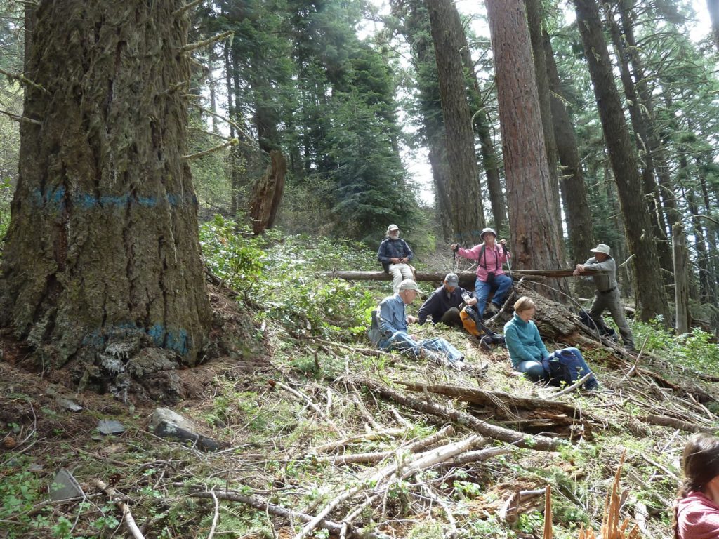
The Applegate Neighborhood Network will be leading a hike to Boaz Mountain on Thursday June 2, 2016. The hike will explore the Boaz Mountain Roadless Area in the Upper Applegate Valley near McKee Bridge. We will hike off-trail into Nedsbar Timber Sale units located within the roadless area on the western face of Boaz Mountain. The hike will include oak woodlands, colorful wildflowers, ancient forests and spectacular vistas across the Upper Applegate Valley. The hike will also include some elevation gain, poison oak and variable terrain. It is estimated that the hike will be roughly 3 miles, with the option of hiking more if folks would like to see more of the area.

Please consider joining us as we explore the Boaz Mountain Roadless Area and the proposed Nedsbar Timber Sale units located on the wild western face of Boaz Mountain. Come prepared for moderately difficult off-trail hiking. Bring lunch, good shoes, and appropriate clothing.

When: Thursday June 2, 2016 9:00 AM

Location: Meet at the Upper Applegate Grange on Upper Applegate Road.

Forest on the western face of Boaz Mountain in unit 33-30 of the Nedsbar Timber Sale.

Support the ATA Thru-hike Video Kickstarter

A view from the proposed East Applegate Ridge Trail looking southwest towards Ruch, Oregon. 

The Applegate Trails Association is an ANN member group and has spent the last five years advocating for non-motorized recreation in the Applegate Valley. The groups biggest project is the proposed Applegate Ridge Trail (ART), a long distance non-motorized trail that would link the communities Jacksonville and Grants Pass, Oregon.

In the hills above Jacksonville the ART is proposed to intersect the Jack-Ash Trail, a roughly 40-mile route envisioned by the Siskiyou Upland Trails Association (SUTA). Together the trails extend an estimated 80 miles from downtown Ashland, to the hills above Grants Pass and the Rogue River. The trails would serve the local community much as the Bear Creek Greenway currently does, but would travel through our beautiful, undeveloped mountain habitats. Both the ART and the Jack-Ash are still in their infancy, but a dedicated group of residents, hiking enthusiasts and volunteers are steadily working to make both trails a reality.

Looking south from the proposed Jack-Ash Trail into the Little Applegate Valley.

This spring two ATA board members are proposing to be the first to thru-hike the entire trail corridor from Ashland to Grants Pass. Our goal is to turn this thru-hike adventure into a film promoting the trails, their creation and their preservation. The film will be used to raise awareness, build support and inspire volunteers to get involved. We hope to highlight the beauty and diversity of the trails, as well as the many benefits to the surrounding communities that the trails will bring.

ATA intends to show the film at various public events, for local trail groups, municipalities, wineries, businesses, outdoor stores, on the web, at film festivals and anywhere that our message is welcome. We are asking for financial support to hire a professional film crew, who will film the adventure and create a short documentary film about the thru-hike, the Applegate Trails Association and the proposed trails.

Please consider supporting this unique project. The Jack-Ash Trail and ART will provide generations of enjoyment to the people of southwestern Oregon, while promoting environmental conservation and stewardship. We hope you can support the work of ATA.

To view the ATA kickstarter page: https://www.kickstarter.com/projects/1273847070/applegate-trails-association-thru-hike-film?ref=nav_search