Today, Oregon Senators Ron Wyden (D-OR) and Jeff Merkley (D-OR) introduced the River Democracy Act of 2020 which will designated new Wild & Scenic River segments across the state of Oregon. The legislation is a direct result of a public nomination process initiated by Senators Wyden and Merkley to identify potential Wild & Scenic Rivers across the state. Oregon residents responded with enthusiasm, submitting over 15,000 nominations for thousands of miles of wild rivers and streams.
Currently only 2% (2,137 miles) of the state’s 110,000 miles of streams benefit from Wild & Scenic River protections and not a single stream mile in the Applegate River watershed has received Wild & Scenic River status. Yet, during the public nomination process Applegate Neighborhood Network (ANN) and our partners at Klamath Forest Alliance (KFA) identified 200 miles of stream eligible for Wild & Scenic River protections in the Applegate River Watershed.
Our proposal includes 3 separate river segments spread throughout the Applegate River Watershed including the proposed Headwaters of the Applegate Wild & Scenic River, the Applegate Wild & Scenic River, and the Slate Creek Wild & Scenic River. Currently these spectacular streams are proposed for designation in the 2020 River Democracy Act.
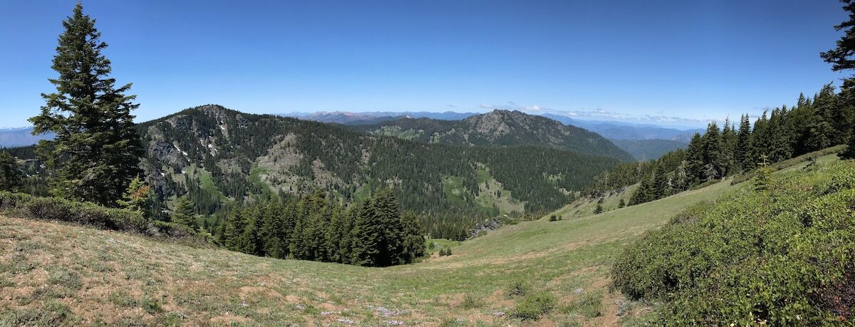
The Headwaters of the Applegate Wild & Scenic River Proposal
Middle Fork 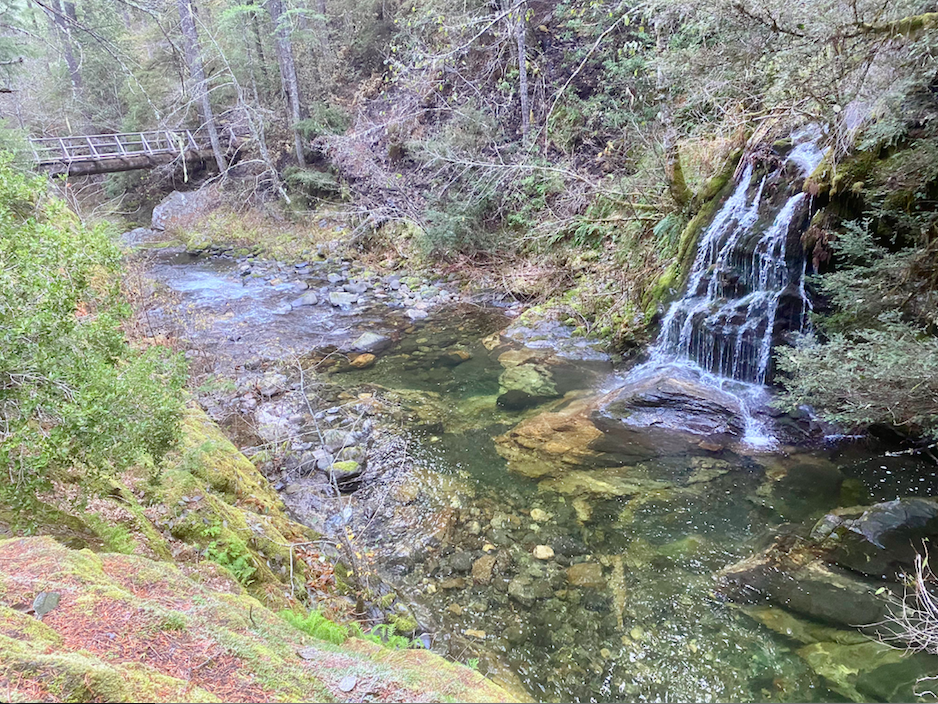
Butte Fork
Elliott Creek
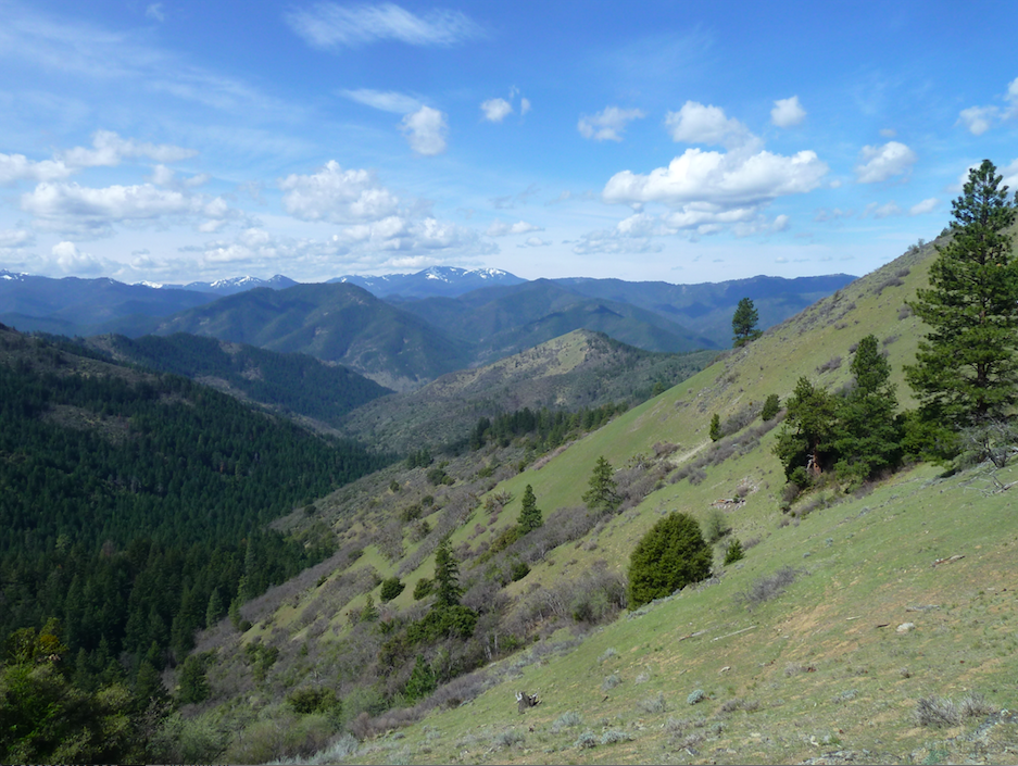
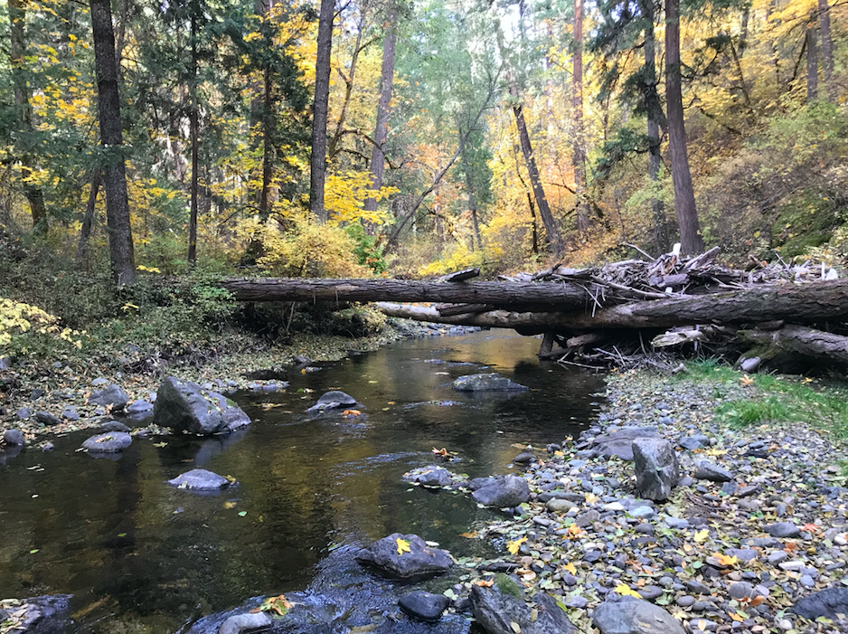
The proposed Headwaters of the Applegate Wild and Scenic River includes the over 85 miles of the wildest streams in the Applegate River watershed including the Middle Fork Applegate River, Butte Fork Applegate River and Elliott Creek. These streams and their spectacular tributaries contain extremely rugged terrain, vast old-growth forests, high levels of biodiversity, undisturbed wildlife habitats, deep clear pools, rushing waterfalls and bedrock gorges.
Each stream drains the northern slope of the Siskiyou Crest and runs largely undisturbed through the vast wildlands and old-growth forests extending across the headwaters of the Applegate River in the Red Buttes Wilderness Area, as well as the unprotected Kangaroo and Condrey Mountain Inventoried Roadless Areas.
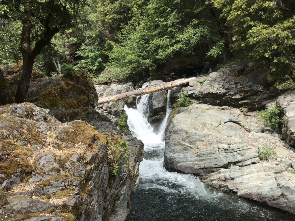
Middle Fork
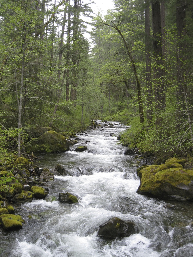
The Middle Fork is the the largest tributary in the Applegate River. Known for its deep swimming holes, thundering waterfalls, beautiful bedrock gorges, spectacular dispersed camping, old-growth forests and numerous wilderness hiking trails, the watershed contains portions of the Red Buttes Wilderness Area, the Kangaroo Inventoried Roadless Area and smaller wildlands like the Whisky Peak and Stricklin Butte Roadless Areas. The proposal includes the Middle Fork and all its major tributary streams.
Butte Fork
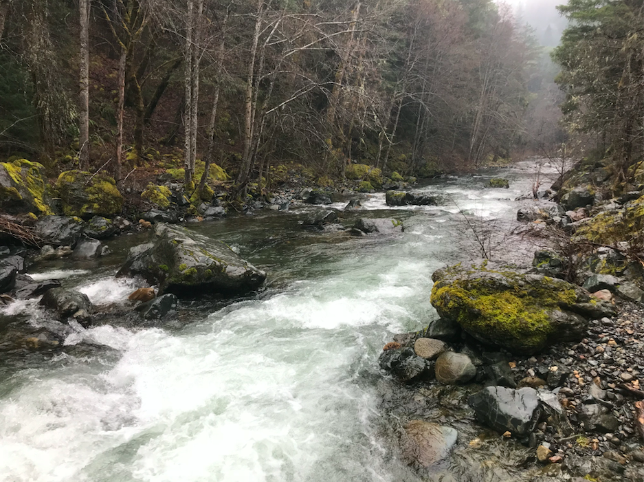
The Butte Fork is the largest and wildest major tributary pouring into the Middle Fork. The stream originates at Azalea Lake in some of the most rugged and diverse high country in the Siskiyou Mountains. The majority of the watershed is protected in the Red Buttes Wilderness Area, but this proposal would include the lower reaches of the Butte Fork below the Wilderness boundary. Located within the Kangaroo Inventoried Roadless Area, this portion of the Butte Fork contains beautiful old-growth forests, crystal clear pools and numerous spectacular wilderness trails. The proposal would include lower Butte Fork and its tributary streams.
Elliott Creek
Little known and relatively obscure, Elliott Creek contains some of the steepest, loneliest canyons in the Applegate River watershed. The stream drains a broad swath of the Siskiyou Crest’s northern slope from Dutchman’s Peak to Copper Butte including the Condrey Mountain Inventoried Roadless Area, the adjacent Elliott Ridge Roadless Area and numerous Forest Service Botanical Areas. The area is also a stronghold for old-growth forest and large portions of the watershed are designated as a Late Successional Reserve. The stream provides important, largely undisturbed wildlife habitat for species like the Pacific fisher, Northern spotted owls, great gray owls, black bear, cougar and elk. The proposal would include Elliott Creek and many of its tributary streams.
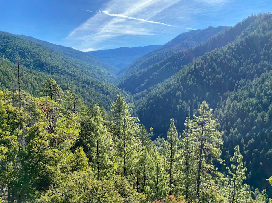
Applegate Wild & Scenic River Proposal
Looking down Mule Creek 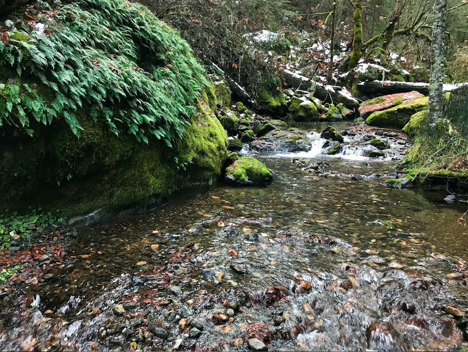
Glade Creek
Steve’s Fork Carberry Creek
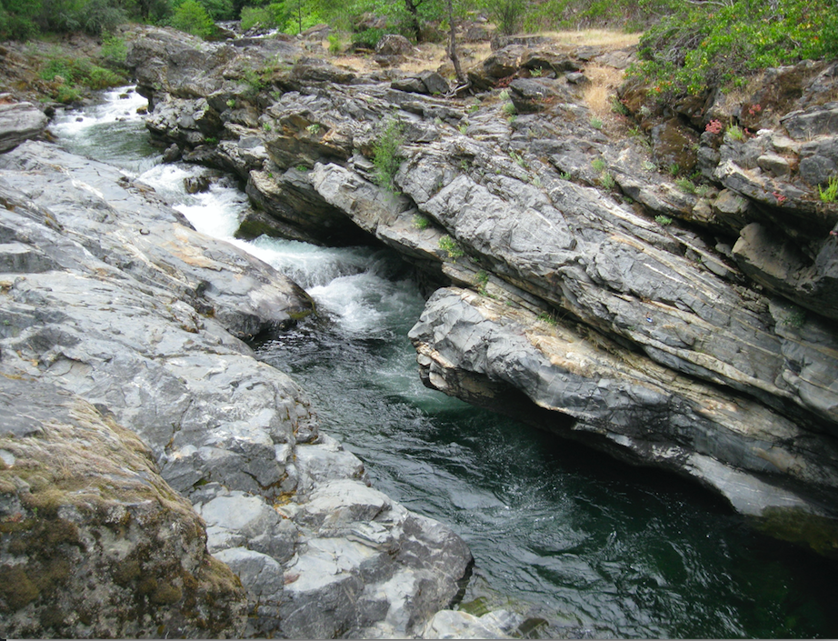
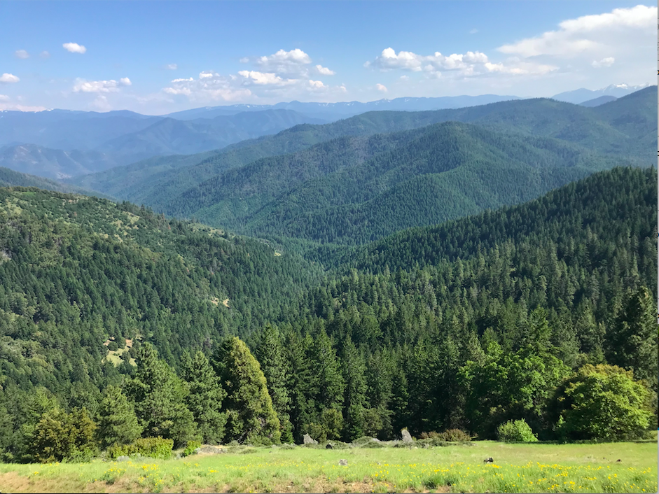
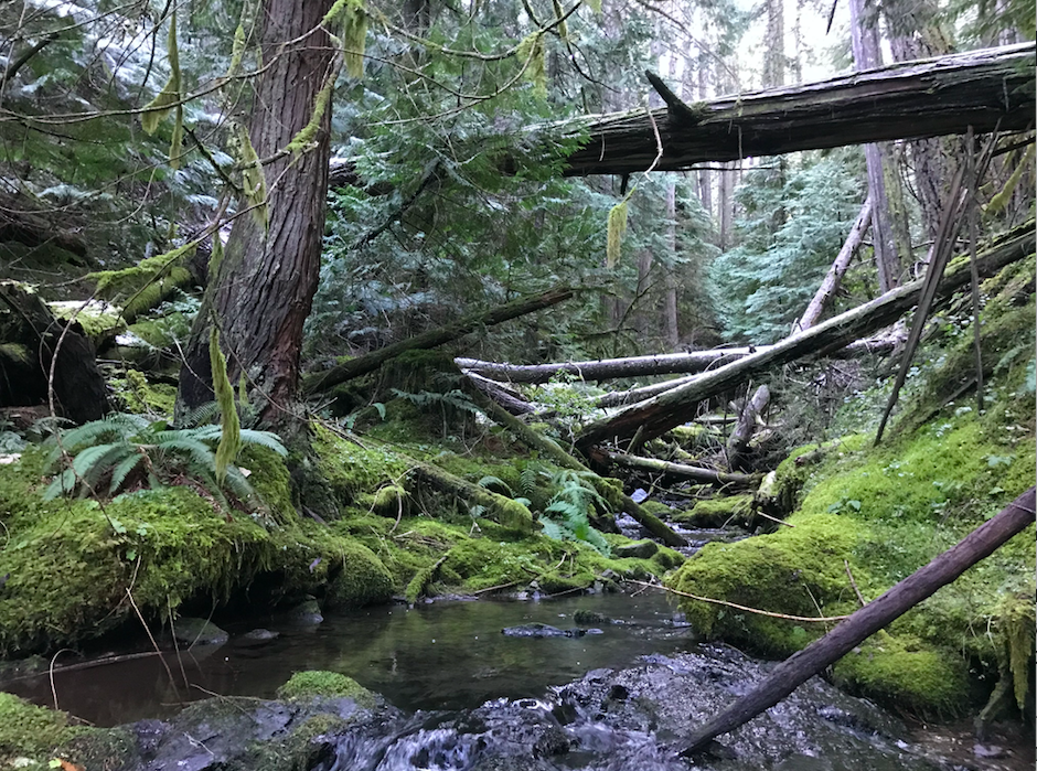
The proposed Applegate Wild & Scenic River would include numerous tributary streams spread across the Applegate River watershed. The proposal includes over 105 miles of stream representing nearly all the major ecosystems found in the Applegate Watershed from the Siskiyou Crest to the Applegate Foothills. The proposal includes streams in Carberry Creek, the Upper Applegate River, Little Applegate River and Middle Applegate River Watersheds.
Forks of Carberry Creek
Draining both the spectacular high mountain meadows, rocky summits and old growth forests of the Kangaroo Inventoried Roadless Area and the low elevation forest and woodlands of the Collings-Kinney Inventoried Roadless Area, Carberry Creek contains a wide variety of intact forest habitats. It also contains numerous Forest Service Botanical Areas and the Oliver Matthews Research Natural Area designated to protect the rare Baker’s cypress. The proposed Forks of Carberry Creek Wild & Scenic River includes Steve’s Fork, Sturgis Fork, O’Brien Creek and Brush Creek.
Upper Applegate River
Our proposal includes 4 small tributaries of the Upper Applegate River including Kinney Creek, Palmer Creek, Mule Creek and Star Gulch. These streams contain unique low elevation habitats including dry conifer forests, mixed hardwood forests, oak woodlands, chaparral and sweeping grasslands. Portions of Kinney Creek and Palmer Creek drain the Collings-Kinney Inventoried Roadless Area, Mule Creek drains the Little Grayback Inventoried Roadless Area and is traversed by the popular Mule Creek Trail, while Star Gulch contains large portions of the BLM’s Burton-Ninemile Lands with Wilderness Charateristics (LWC).
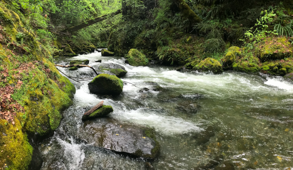
Little Applegate River
Little Applegate River
Our proposal in the Little Applegate River watershed includes the beautiful Little Applegate River canyon and numerous tributary streams including Bear Gulch, Muddy Gulch, Birch Creek, Blacksmith Gulch, Owl Gulch, portions of Glade Creek, and Skunk Gulch. The area is arid and unique for western Oregon with a diverse mixture of grassland, chaparral, oak woodland, hardwood groves and dry mixed conifer forest. Wild, accessible and extremely popular for recreation, the Sterling Ditch Trail traverses the area and numerous trailheads provide river access.
Pipe Fork
Pipe Fork
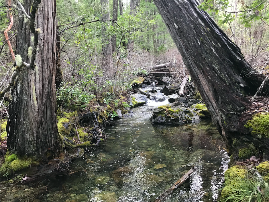
The Pipe Fork is the last wild tributary of Williams Creek, an important cold water refugia and the only stream proposed for Wild & Scenic designation in the Middle Applegate River watershed. The stream also contains the Pipe Fork Research Natural Area which currently protects stands of Port Orford cedar, uninfected by the fatal Port Orford Cedar Root Rot (Phytopthera lateralis). Usually a coastal species, this disjunct population of Port Orford cedar is the eastern most population in Oregon.
The Pipe Fork flows through the northern Kangaroo Inventoried Roadless Area on both Forest Service and BLM lands. The area supports spectacular old growth cedar groves, along with sugar pine, ponderosa pine, white fir, and Douglas fir.
Slate Creek Proposal:
Cedar Log Creek
Slate Creek is the first major tributary to the Applegate River. Located near Wilderville and Wonder, Oregon the headwaters of Slate Creek flows through Forest Service land in a deep red rock canyon. The areas unusual serpentine soils create rather open, rocky forests of twisted chaparral and windswept Jeffrey pine savannah. Healthy stands of Port Orford cedar also line the stream. Portions of the area are protected in the Cedar Log Flat Research Natural Area which supports the only carnivorous cobra lily fens in the Applegate River watershed and numerous rare plant species.
Although relatively obscure and unknown, Slate Creek flows cold and clear through the beautiful Slate Creek Roadless Area. The proposal includes the upper portions of Slate Creek, Cedar Log Creek, and Buckeye Creek.
Support the 2020 River Democracy Act
We strongly support the 2020 River Democracy Act and look forward to new Wild & Scenic River designations throughout Oregon and in the Applegate River Watershed. These new designations will support healthy rivers, streams and fisheries. They will also protect old-growth forests, roadless wildlands, rare plant species, intact wildlife habitats and unique pieces of Oregon’s natural heritage. Please take a moment to thank Senators Wyden and Merkley for their leadership and urge Congress to move this bill forward.