With the Trump Administration proposing to eliminate the vital protections provided by the 2001 Roadless Rule, we need you help to stand up, speak out and help us protect the most important wildlands in both the Applegate River watershed, and throughout Forest Service lands nationwide. Roadless Areas represent some of the best examples of intact, non-industrialized land in the country, and their protection is at the heart of any credible conservation effort.
Below are descriptions of the six Inventoried Roadless Areas in the Applegate River watershed. All would lose protection under the Trump Administration’s proposal to revoke the protections of the 2001 Roadless Rule. The six Inventoried Roadless Areas, located at least partially within the Applegate River watershed, include habitats at both low and high elevation, in the ancient forests of the region, along intact tributary streams, in beautiful oak woodlands, arid grasslands, chaparral habitats, high mountain meadows, and in the rocky high country of the Siskiyou Crest.
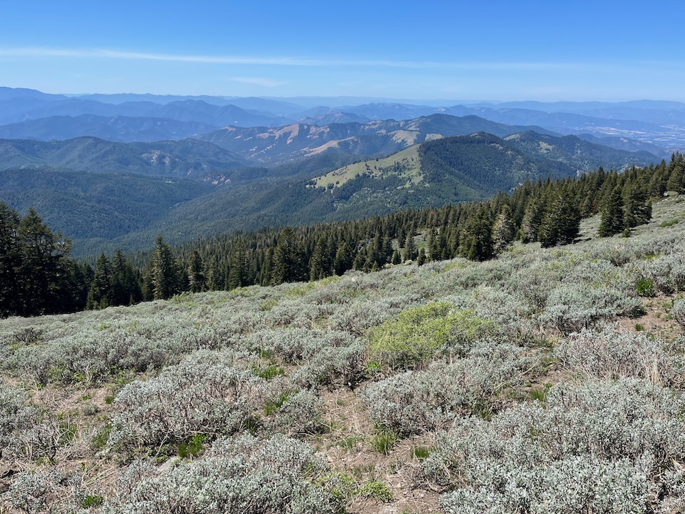
Below is a small sample of each roadless area and a few of their important attributes:
Little Grayback Inventoried Roadless Area
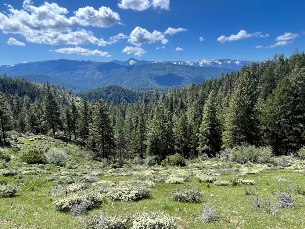
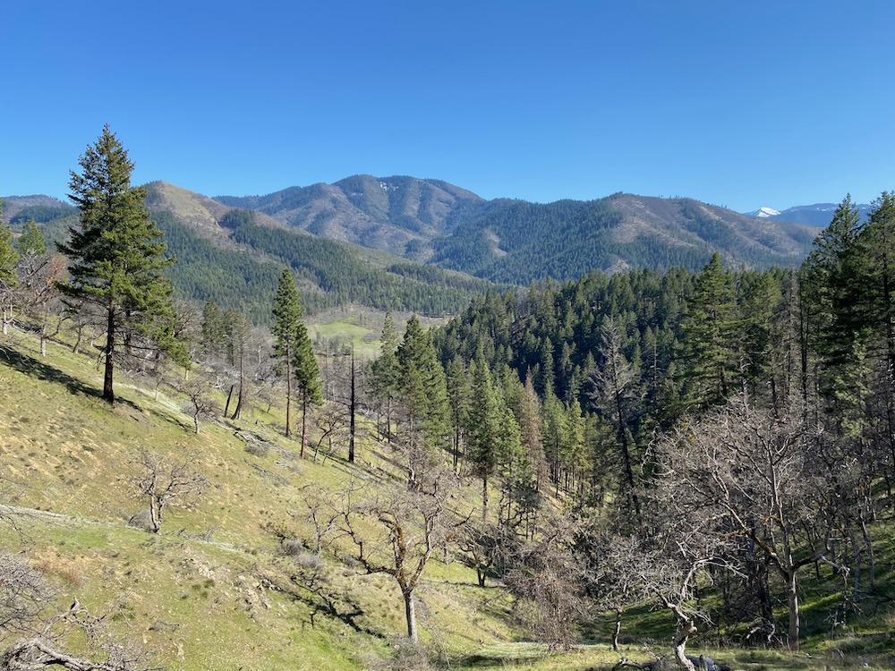
The Little Grayback Inventoried Roadless Area is located in the foothills of the Upper Applegate River watershed and above the pastoral Upper Applegate Valley. The region contains multiple popular recreational trails, including the Mule Mountain, Mule Creek, Baldy Peak, and Little Grayback trails, and spectacular low elevation foothill habitat. The area includes Mule Mountain, Baldy Peak, Little Grayback Mountain, and the southern flanks of Acorn Women Peak, as well as the majority of the Mule Creek watershed, Doe Hollow, Slickear Gulch, and Lyman Creek.
The Little Grayback Roadless Area also includes some of the most important deer winter range in the Applegate River watershed, and perhaps the region’s largest black tailed deer populations. It also includes very diverse and rich plant communities with exceptional botanical values, numerous rare plant populations, mature and old-growth mixed conifer forests, ancient oak woodlands, intact chaparral habitats, small serpentine outcrops, exceptional spring wildflower displays, and incredible views across the Applegate Siskiyou region.
The Lyman-Doe Hollow Botanical Area is also located within the Little Grayback Inventoried Roadless Area.
Collings-Kinney Inventoried Roadless Area
The Collings-Kinney Inventoried Roadless Area includes Collings Mountain, Kinney Mountain and Billy Mountain, along with numerous small streams, including Grouse Creek, portions of Kanaka Gulch, Buck Gulch, Kinney Creek, and Billy Gulch.
The area supports a diverse mosaic of vegetation, including dry mixed conifer forests, deciduous oak woodlands, live oak woodlands, madrone groves, chaparral, knobcone pine groves, and generally very steep, rugged habitats above the Upper Applegate Valley, Applegate Reservoir, and Carberry Creek. The popular Collings Mountain Trail and Grouse Loop Trails extend throughout the area, providing access to both the intact habitats of the Collings-Kinney Roadless Area and the famous bigfoot trap on Grouse Creek near the Applegate Reservoir.
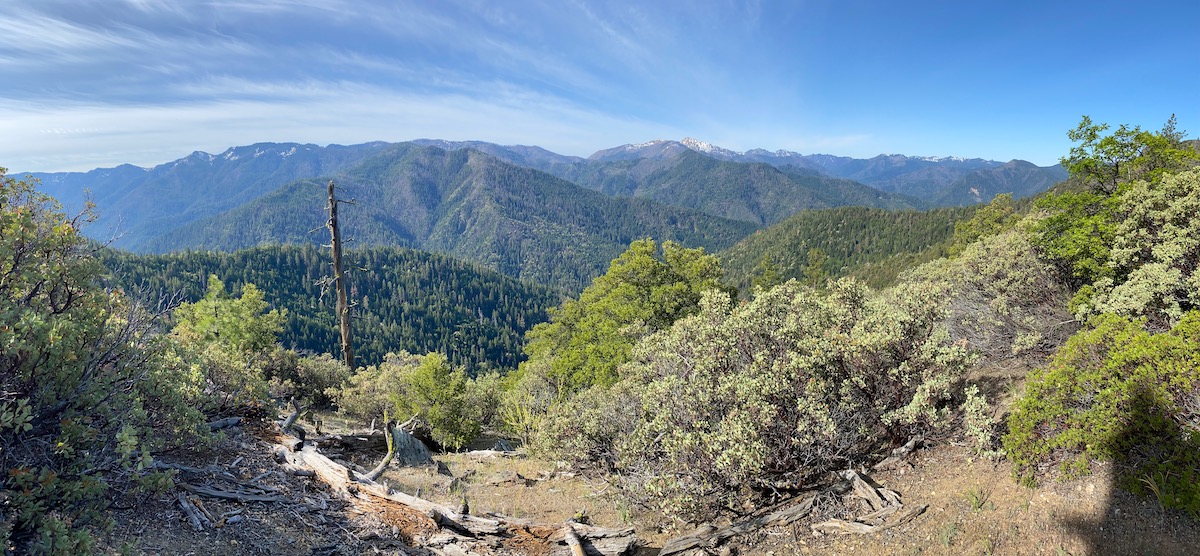
Kangaroo Inventoried Roadless Area
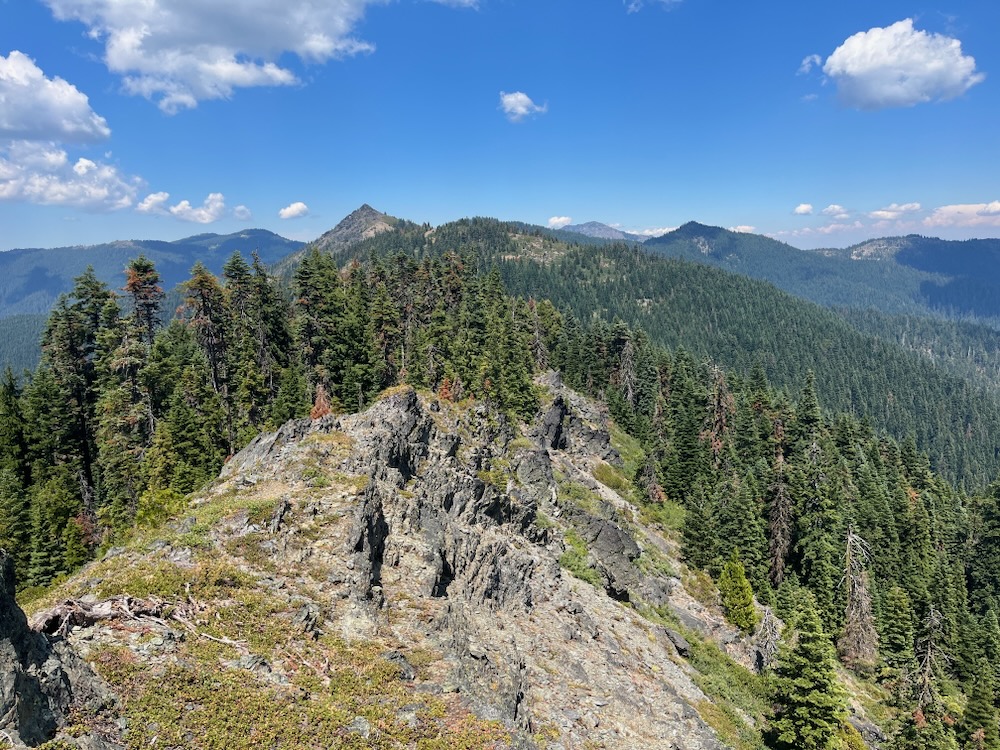
At over 90,000 acres the Kangaroo Inventoried Roadless Area surrounds the rugged Red Buttes Wilderness at the headwaters of the Applegate River and along the Oregon-California border. The sprawling roadless area includes vast swaths of old-growth mixed-conifer and montane forest on the northern flank of the Siskiyou Crest, including the over 35,000-acre Oregon-Kangaroo Roadless Area and the over 60,000-acre California-Kangaroo Roadless Area.
Oregon-Kangaroo Inventoried Roadless Area
The Oregon-Kangaroo Roadless Area contains the backcountry surrounding the Oregon Caves National Monument and lands directly north of the Red Buttes Wilderness Area.
Dividing the Applegate from the Illinois River drainage, the tall ridge system known locally as the Grayback Range, is known for its lush ancient forests, moist mountain meadows, beautiful headwater streams, and tall mountain peaks, including Grayback Mountain, Sugarloaf Peak, Craggy Mountain, Mt. Elijah, Swan Mountain, Arnold Mountain, Steve Peak, and Iron Mountain. It also includes the Craggy Mountain Scenic Area, the Grayback Botanical Area, the Hinkle Lake Botanical Area, and the Oliver Matthews Research Natural Area, as well as the headwaters of Sucker Creek in the Illinois River watershed, Carberry Creek and Williams Creek in the Applegate River watershed.
The area is accessible from the incredibly scenic Boundary National Recreation Trail, which links together the popular O’Brien Creek, Sturgis Fork, Elk Creek, Miller Lake, Limestone Gulch, and Grayback Mountain Trails. This trail system connects the Oregon Caves National Monument with the Red Buttes Wilderness and the Pacific Crest Trail.
California-Kangaroo Inventoried Roadless Area
The California-Kangaroo Roadless Area surrounds the spectacular Red Buttes Wilderness Area with over 60,000 acres of intact, highly diverse roadless habitat. These exceptionally steep, rocky and scenic wildlands extend from the summit of the Siskiyou Crest, and reach into both the headwaters of the Applegate River, as well as south virtually to the banks of the Klamath River.
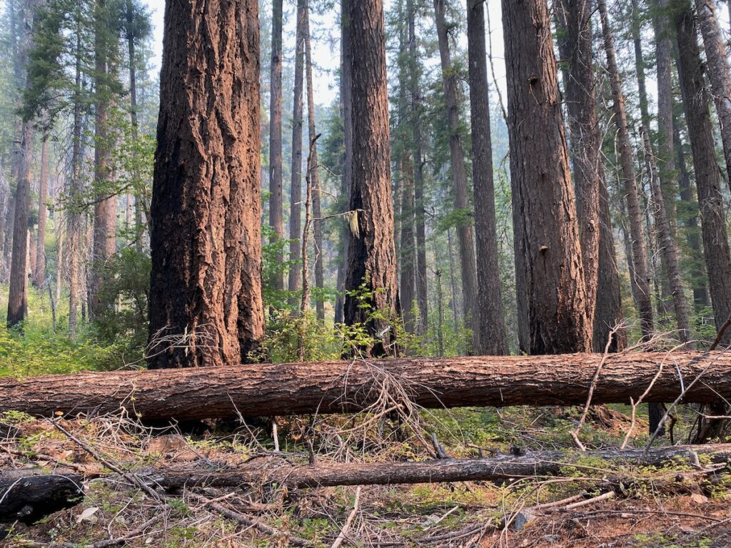
The northern slopes draining the Butte Fork and Middle Fork Applegate River watersheds contain vast old-growth forests and intact watersheds like Lick Gulch, Cook and Green Creek, and Echo Creek along the popular Cook and Green Creek, Butte Fork, and Horse Camp Trails, as well as portions of the Middle Fork National Recreation Trail. The summit of the Siskiyou Crest in this section is rugged, rocky and remote, while Cook and Green Pass and the Cook and Green Pass Botanical Area have been documented as one of the single most diverse aggregations of native plants in California.
In many places, the southern slopes drop undisturbed from the Siskiyou Crest to Highway 96 and the Klamath River. The area includes over 13 miles of the Pacific Crest Trail. It also includes the upper Seiad Creek watershed, along with Canyon, Portuguese, Fort Goff, and upper Thompson Creek. The upper portions of the Roadless Area border the Red Buttes Wilderness Area and are accessible by the Boundary National Recreation Trail which traverses the spine of Siskiyou Crest between Cook and Green Pass and Lonesome Lake.
The Seiad Baker Cypress Botanical Area is located within the California-Kangaroo Roadless Area. The area supports one of only eleven populations of Baker’s cypress in the world and is also one of the most healthy populations of this rare conifer species. Most of the area is also designated as a Backcountry Area on the Klamath National Forest
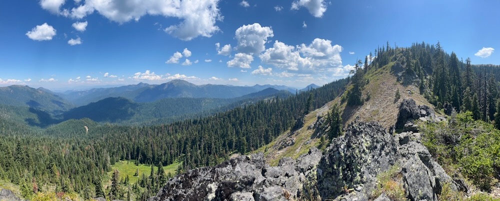
The Condrey Mountain Inventoried Roadless Area
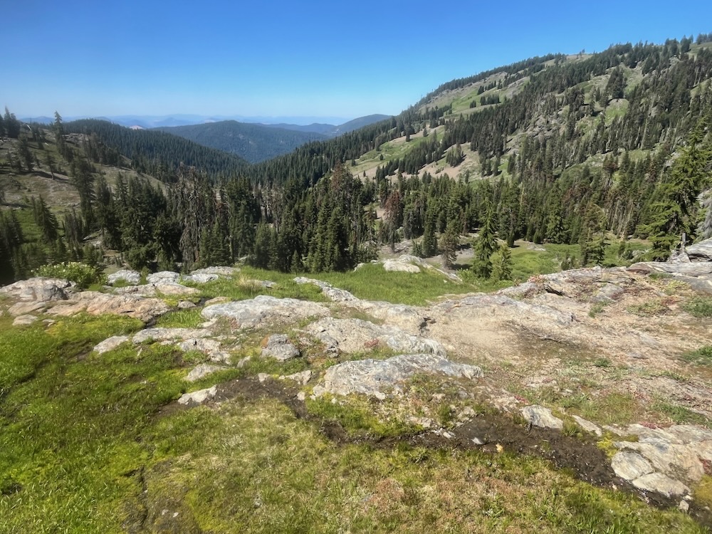
The Condrey Mountain Inventoried Roadless Area is located east of Cook and Green Pass and west of Big Rock on the Siskiyou Crest. The over 9,000-acre Roadless Area contains extensive old-growth forests and clear-flowing streams in the Elliott Creek, Dutch Creek, Studhorse Creek, Alex Creek and Middle Hell Watersheds. The upper portions of the roadless area are accessible by approximately 15 spectacular miles of the Pacific Crest Trail which traverse montane forests, high mountain meadows, diverse botany, and unique schist geology.
The area includes portions of the Cook and Green Pass Botanical Area, the Scraggy Mountain Botanical Area, and the White Mountain Botanical Area, as well as portions of the Condrey Mountain Blue Schist Geologic Area. The Condrey Mountain Inventoried Roadless Area is one of the Applegate’s most forgotten gems and is highly important for habitat connectivity.
McDonald Peak Inventoried Roadless Area
The McDonald Peak Inventoried Roadless Area is located at the headwaters of the Little Applegate River high on Wagner Butte, Split Rock and McDonald Peak. It also extends into the Ashland watershed below Mt Ashland. The area includes some of the highest elevation habitats in the Siskiyou Mountains, along with dense old-growth forests, disjunct and unusual conifer species, lush mountain meadows, large aspen glades, sagebrush clearings, and mountain mahogany groves.
The McDonald Peak Inventoried Roadless Area also includes portions of the Mt. Ashland-Siskiyou Peak Botanical Area and creates the headwaters of the Ashland Creek watershed, which provides municipal water for the city of Ashland. Important for recreation, the area includes the highly popular Wagner Butte, Wagner Glade, and McDonald Peak Trails, which connect to the Pacific Crest Trail and the nearby Grouse Gap Snow Shelter, as well as the Ashland Trail System leading from the Siskiyou Crest to community of Ashland.
As the saying goes, “roadless is priceless” and these last intact gems should be preserved in perpetuity, not degraded for the short-term profits of the timber and mining industry. The Trump Administration has proposed eliminating protections for these roadless areas by revoking the 2001 Roadless Rule. Please help us fight like the last wildlands depend on it, because they do! Don’t let the Trump Administration whittle away the last wildlands in the country!
Below are two ways you can both support the protection of roadless areas and push back against attempts to remove roadless area protections:
Comment on the Trump Administration’s Attempt to Revoke the 2001 Roadless Rule
To provide comment on this proposal click here.
Talking Points:
- Roadless Area protections should be strengthened and expanded rather than be rescinded.
- Support no logging or road construction in Roadless Areas nationwide.
- Prohibitions in Roadless Areas should include a ban on motorized trail use in all Roadless Areas nationwide.
- Logging is not a solution to either fires or forest health concerns, and can, in many situations, make fires burn with more intensity due to microclimate alterations, the loss of large fire resistant trees, and a significant response from woody understory shrub species.
- Road construction in currently unroaded lands is detrimental to fisheries, water quality, native plant communities, wildlife and wildfire risks, by increasing stream sedimentation, spreading noxious weeds, and creating opportunities for increased human ignitions.
- The 2001 Roadless Rule was responsible, reasonable, and important for the maintenance of both biological values and local economies where roadless areas play a significant role in the outdoor recreation economy, provide important ecosystem services, and promote a high quality of life in surrounding communities.
- Citizens of America love their public lands and support their protection.
Support the Roadless Area Conservation Act!
Talking points:
- Ask your elected officials to support and even cosponsor the Roadless Area Conservation Act. You can email Congressman Cliff Bentz here. Senators Jeff Merkely and Ron Wyden are already cosponsoring the bill, which is great, and you should thank them for sponsoring it! Or if they aren’t your represenatives or senators, click here to find contacts for your senator, or here to find contacts for your representative.
- Let them know how important these wildlands are for wildlife, watersheds, biodiversity, fire resilience, recreation, and even economic values.
- Let your elected officials know you love roadless wildlands and support their protection through the Roadless Area Conservation Act.
Contact your elected officials and ask them to support either the Senate or Congressional version.
Roadless is priceless. Check out this drone footage of the Kangaroo Inventoried Roadless Area at the headwaters of the Applegate River!